Old Cumbria Gazetteer
 |
 |
|
||
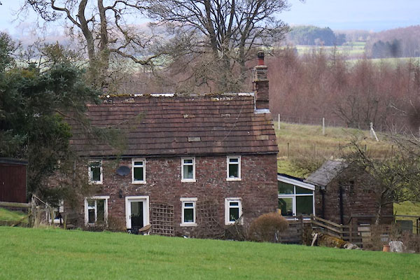
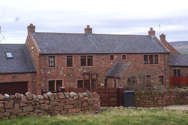
| Froddle Crook, Wetheral | ||||
| Froddle Crook | ||||
| civil parish:- | Wetheral (formerly Cumberland) | |||
| county:- | Cumbria | |||
| locality type:- | locality | |||
| locality type:- | buildings | |||
| coordinates:- | NY50024903 (etc) | |||
| 1Km square:- | NY5049 | |||
| 10Km square:- | NY54 | |||
|
|
||||
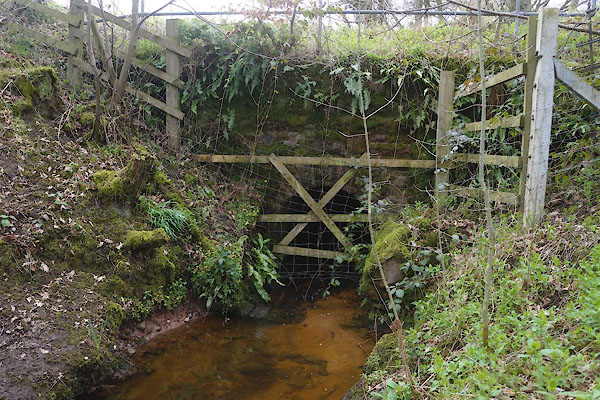
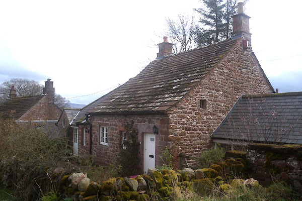 CEU74.jpg (taken 8.4.2016) 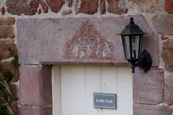 CEU75.jpg Date stone:- "JS / 1746" (taken 8.4.2016) |
||||
|
|
||||
| evidence:- | old map:- OS County Series (Cmd 31 8) placename:- Froddle Crook |
|||
| source data:- | Maps, County Series maps of Great Britain, scales 6 and 25
inches to 1 mile, published by the Ordnance Survey, Southampton,
Hampshire, from about 1863 to 1948. |
|||
|
|
||||
| evidence:- | old map:- Donald 1774 (Cmd) placename:- Froddle Crook |
|||
| source data:- | Map, hand coloured engraving, 3x2 sheets, The County of Cumberland, scale about 1
inch to 1 mile, by Thomas Donald, engraved and published by Joseph Hodskinson, 29
Arundel Street, Strand, London, 1774.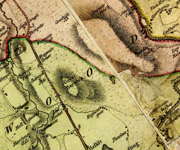 D4NY44NE.jpg "Froddle Crook" block or blocks, labelled in lowercase; a hamlet or just a house item:- Carlisle Library : Map 2 Image © Carlisle Library |
|||
|
|
||||
| evidence:- | database:- Listed Buildings 2010 placename:- Froddle Crook item:- date stone (1746) |
|||
| source data:- | courtesy of English Heritage "FRODDLE CROOK / / / WETHERAL / CARLISLE / CUMBRIA / II / 77774 / NY5002849037" |
|||
|
|
||||
| places:- |
|
|||
|
||||
|
||||
|
||||
|
||||
 Lakes Guides menu.