 Old Cumbria Gazetteer
 |
 |
|
| Drumleaning Bridge, Drumleaning | ||
| Drumleaning Bridge | ||
| site name:- | Pow Beck (4) | |
| locality:- | Drumleaning | |
| civil parish:- | Aikton (formerly Cumberland) | |
| civil parish:- | Thursby (formerly Cumberland) | |
| county:- | Cumbria | |
| locality type:- | bridge | |
| coordinates:- | NY27185168 | |
| 1Km square:- | NY2751 | |
| 10Km square:- | NY27 | |
|
|
||
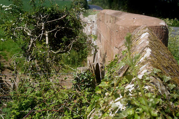 CGD86.jpg (taken 26.5.2017) 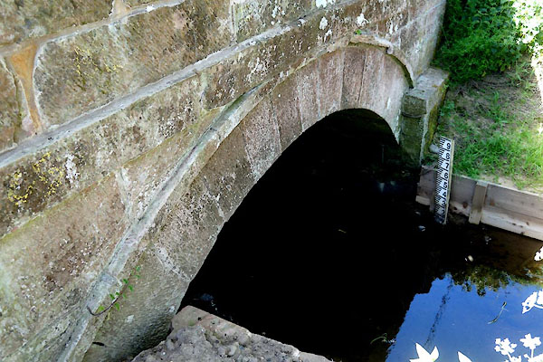 CGD87.jpg (taken 26.5.2017) |
||
|
|
||
| evidence:- | old map:- Bell 1892 placename:- Drum Leaning Bridge |
|
| source data:- | Map, colour lithograph, Road Map of Cumberland, by George Joseph
Bell, scale about 2.5 miles to 1 inch, printed by Charles
Thurnam and Sons, Carlisle, Cumberland, 1892.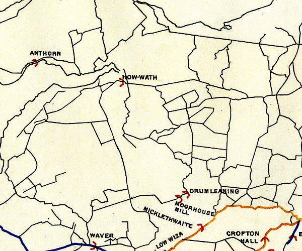 BEL9NY25.jpg "DRUM LEANING" bridge symbol Road map of Cumberland showing County Bridges item:- Carlisle Library : Map 38 Image © Carlisle Library |
|
|
|
||
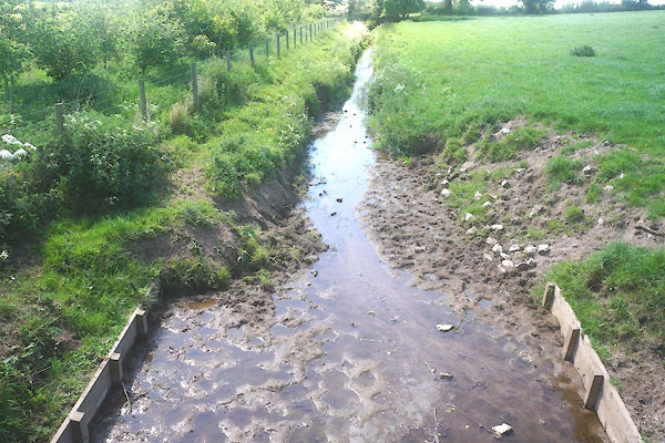 CGD88.jpg View of river. (taken 26.5.2017) |
||
|
|
||
 Lakes Guides menu.