 Old Cumbria Gazetteer
 |
 |
|
| Daisey Farm, Outhgill | ||
| Daisey Farm | ||
| Daisy Farm | ||
| locality:- | Outhgill | |
| civil parish:- | Mallerstang (formerly Westmorland) | |
| county:- | Cumbria | |
| locality type:- | buildings | |
| locality type:- | inn (ex) | |
| coordinates:- | NY78260163 | |
| 1Km square:- | NY7801 | |
| 10Km square:- | NY70 | |
|
|
||
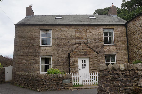 CBC05.jpg (taken 11.7.2014) |
||
|
|
||
| evidence:- | old map:- OS County Series (Wmd 30 15) placename:- Kings Head Inn |
|
| source data:- | Maps, County Series maps of Great Britain, scales 6 and 25
inches to 1 mile, published by the Ordnance Survey, Southampton,
Hampshire, from about 1863 to 1948. |
|
|
|
||
 Lakes Guides menu.