 Old Cumbria Gazetteer
 |
 |
|
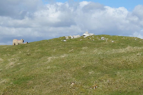
| currick, Crosby Garrett | ||
| locality:- | Bents Hill | |
| civil parish:- | Crosby Garrett (formerly Westmorland) | |
| county:- | Cumbria | |
| locality type:- | currick | |
| coordinates:- | NY70600678 | |
| 1Km square:- | NY7006 | |
| 10Km square:- | NY70 | |
| SummaryText:- | Currick on County Series maps, late 19th century; Cairn on more recent maps. | |
|
|
||
 CAJ93.jpg (taken 14.4.2014) 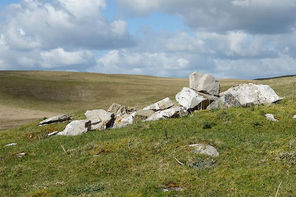 CAJ94.jpg (taken 14.4.2014) |
||
|
|
||
| evidence:- | old map:- OS County Series (Wmd 29) placename:- |
|
| source data:- | Maps, County Series maps of Great Britain, scales 6 and 25
inches to 1 mile, published by the Ordnance Survey, Southampton,
Hampshire, from about 1863 to 1948. "Currick" |
|
|
|
||
 Lakes Guides menu.