 Old Cumbria Gazetteer
 |
 |
|
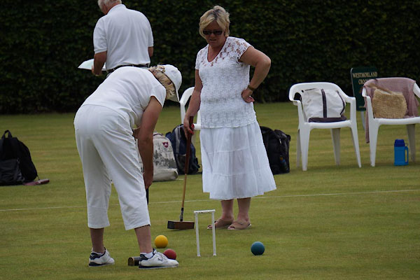
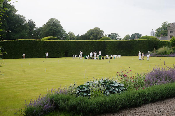
| croquet lawn, Levens Hall | ||
| site name:- | Levens Hall | |
| civil parish:- | Heversham (formerly Westmorland) | |
| county:- | Cumbria | |
| locality type:- | croquet lawn | |
| locality type:- | bowling green (once) | |
| coordinates:- | SD49568497 | |
| 1Km square:- | SD4984 | |
| 10Km square:- | SD48 | |
|
|
||
 CAZ46.jpg (taken 2.7.2014) 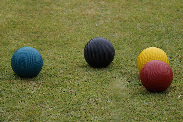 CAZ47.jpg (taken 2.7.2014) |
||
|
|
||
| evidence:- | old map:- OS County Series (Wmd 42 11) |
|
| source data:- | Maps, County Series maps of Great Britain, scales 6 and 25
inches to 1 mile, published by the Ordnance Survey, Southampton,
Hampshire, from about 1863 to 1948. "Bowling Green" |
|
|
|
||
 CAZ37.jpg (taken 2.7.2014) 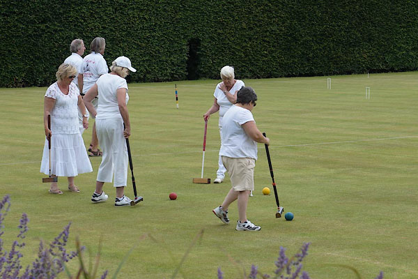 CAZ38.jpg (taken 2.7.2014) 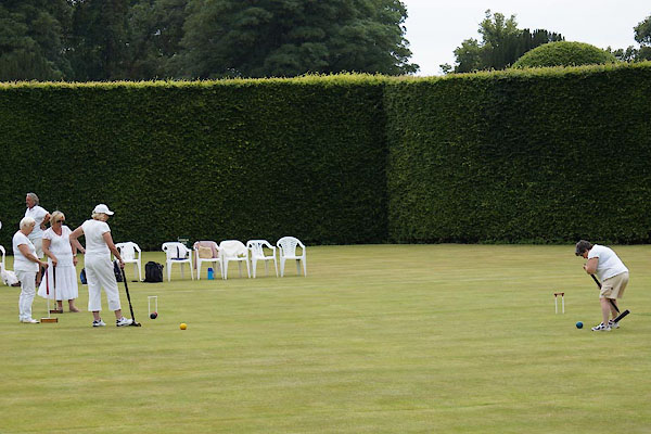 CAZ39.jpg (taken 2.7.2014) 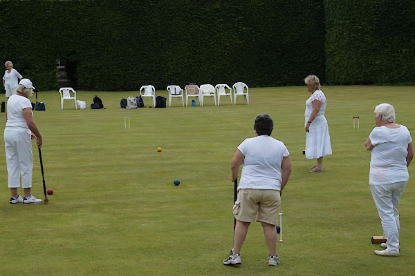 CAZ40.jpg (taken 2.7.2014) 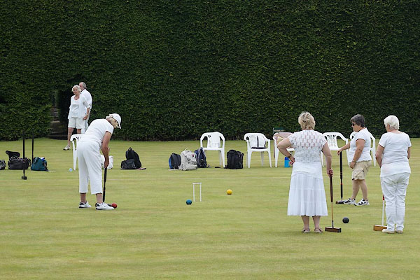 CAZ41.jpg (taken 2.7.2014) 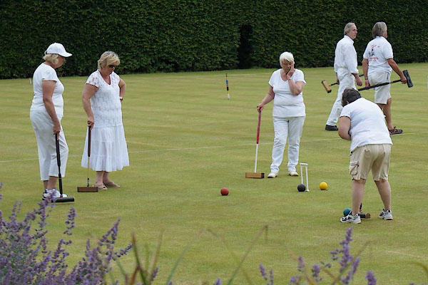 CAZ42.jpg (taken 2.7.2014) 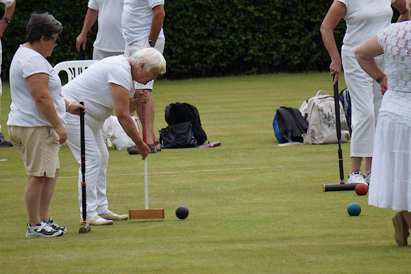 CAZ43.jpg (taken 2.7.2014) 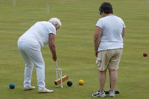 CAZ44.jpg (taken 2.7.2014) 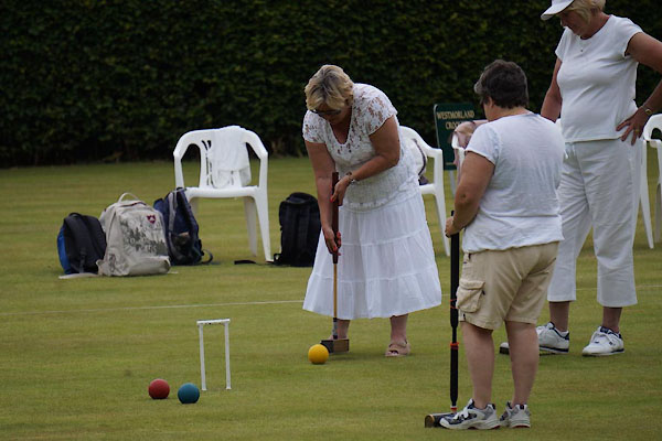 CAZ45.jpg (taken 2.7.2014) |
||
|
|
||
 Lakes Guides menu.