 Old Cumbria Gazetteer
 |
 |
|
| Cockermouth: South Street | ||
| South Street | ||
| locality:- | Cockermouth | |
| civil parish:- | Cockermouth (formerly Cumberland) | |
| county:- | Cumbria | |
| locality type:- | street | |
| coordinates:- | NY12073054 (etc) | |
| 1Km square:- | NY1230 | |
| 10Km square:- | NY13 | |
|
|
||
| evidence:- | old map:- OS County Series (Cmd 54 4) placename:- South Street |
|
| source data:- | Maps, County Series maps of Great Britain, scales 6 and 25
inches to 1 mile, published by the Ordnance Survey, Southampton,
Hampshire, from about 1863 to 1948. |
|
|
|
||
| evidence:- | old map:- Donald 1774 (Cmd) placename:- Back Lane |
|
| source data:- | Map, hand coloured engraving, 3x2 sheets, The County of Cumberland, scale about 1
inch to 1 mile, by Thomas Donald, engraved and published by Joseph Hodskinson, 29
Arundel Street, Strand, London, 1774.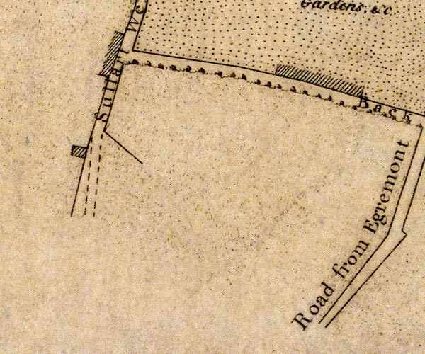 D41130X.jpg 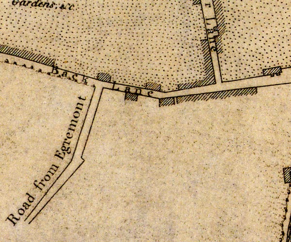 D41230C.jpg "Back Lane" 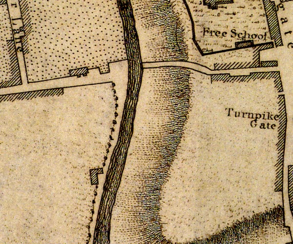 D41230H.jpg street item:- Carlisle Library : Map 2 Images © Carlisle Library |
|
|
|
||
 Lakes Guides menu.