 Old Cumbria Gazetteer
 |
 |
|
| chapel, Carlisle (2) | ||
| Street:- | Cecil Street | |
| locality:- | Botchergate | |
| civil parish:- | Carlisle (formerly Cumberland) | |
| county:- | Cumbria | |
| locality type:- | chapel (ex) | |
| locality type:- | shop | |
| coordinates:- | NY40535558 | |
| 1Km square:- | NY4055 | |
| 10Km square:- | NY45 | |
|
|
||
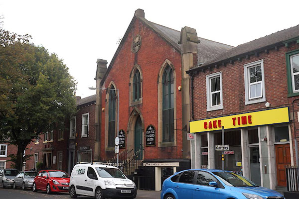 CBR86.jpg (taken 15.9.2014) 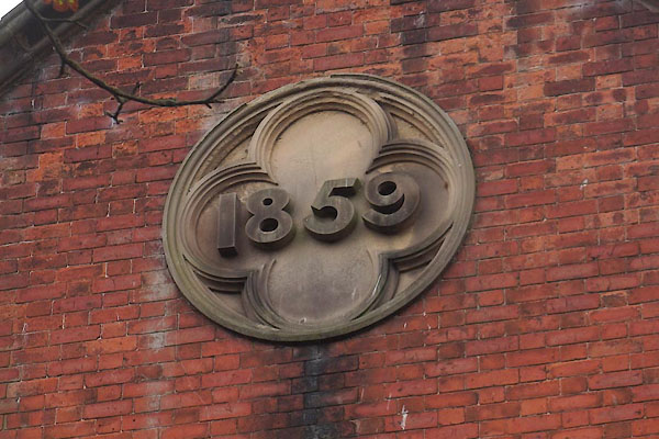 CBR87.jpg "1859" (taken 15.9.2014) |
||
|
|
||
| evidence:- | old map:- OS County Series (Cmd 23 8) placename:- Evangelical Union Chapel |
|
| source data:- | Maps, County Series maps of Great Britain, scales 6 and 25
inches to 1 mile, published by the Ordnance Survey, Southampton,
Hampshire, from about 1863 to 1948. |
|
|
|
||
 Lakes Guides menu.