 Old Cumbria Gazetteer
 |
 |
|
| Shaddon Mill Race, Carlisle | ||
| Shaddon Mill Race | ||
| locality:- | Caldew, River | |
| locality:- | Caldewgate | |
| civil parish:- | Carlisle (formerly Cumberland) | |
| county:- | Cumbria | |
| locality type:- | mill race | |
| coordinates:- | NY39585567 (etc) | |
| 1Km square:- | NY3955 | |
| 10Km square:- | NY35 | |
|
|
||
| evidence:- | old map:- OS County Series (Cmd 23 7) placename:- Shaddon Mill Race |
|
| source data:- | Maps, County Series maps of Great Britain, scales 6 and 25
inches to 1 mile, published by the Ordnance Survey, Southampton,
Hampshire, from about 1863 to 1948. "S. Mill Race" |
|
|
|
||
| evidence:- | old map:- Donald 1774 (Cmd) |
|
| source data:- | Map, hand coloured engraving, 3x2 sheets, The County of Cumberland, scale about 1
inch to 1 mile, by Thomas Donald, engraved and published by Joseph Hodskinson, 29
Arundel Street, Strand, London, 1774.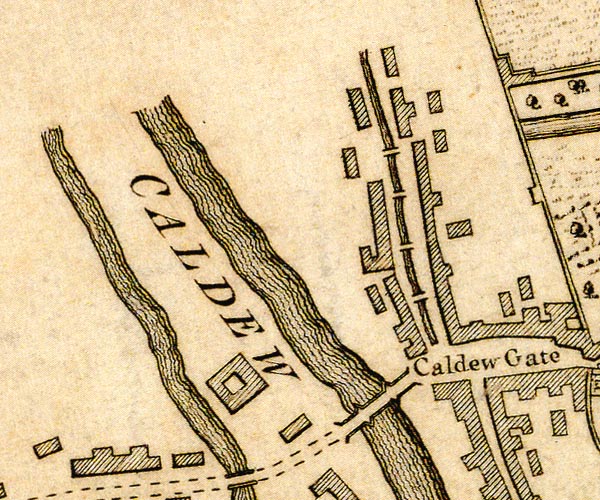 D43956K.jpg 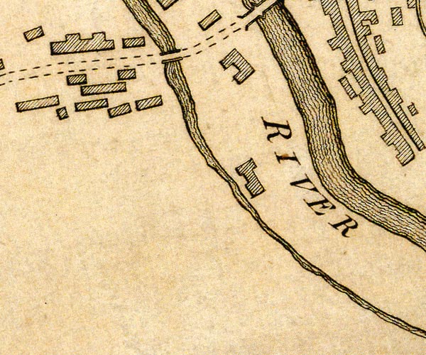 D43955P.jpg  D43955T.jpg mill lade item:- Carlisle Library : Map 2 Images © Carlisle Library |
|
|
|
||
| hearsay:- |
Comes/came off the River Caldew at weir at Holme Head, served a series of mills and
other works: Holme Head Works, bleaching and dyeing; South Vale Mill, corn; Holme
Works, bleaching and dyeing; perhaps Friggate Works, biscuits and confectionery; Denton
Hill Works, weaving and dyeing; Denton Mills, corn, and bread and biscuit factory;
Shaddon Works, spinning and weaving; a wool spinning mill north of Victoria Viaduct;
the Alabaster Works; Willowholme Mill, corn; perhaps the Bone Manure Works; before
running into the Eden just below Etterby. |
|
| (From maps it is not certain which used water power.) |
||
|
|
||
 Lakes Guides menu.