 Old Cumbria Gazetteer
 |
 |
|
| Calder Foot, St Bridget Beckermet | ||
| Calder Foot | ||
| site name:- | Calder, River | |
| civil parish:- | St Bridget Beckermet (formerly Cumberland) | |
| county:- | Cumbria | |
| locality type:- | river mouth | |
| coordinates:- | NY02420269 | |
| 1Km square:- | NY0202 | |
| 10Km square:- | NY00 | |
| references:- | Donald 1774 |
|
|
|
||
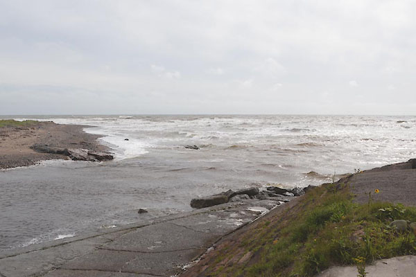 CGH55.jpg (taken 28.7.2017) 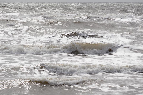 CGH56.jpg Waves. (taken 28.7.2017) |
||
|
|
||
| evidence:- | old map:- Donald 1774 (Cmd) placename:- Calderfoot |
|
| source data:- | Map, hand coloured engraving, 3x2 sheets, The County of Cumberland, scale about 1
inch to 1 mile, by Thomas Donald, engraved and published by Joseph Hodskinson, 29
Arundel Street, Strand, London, 1774.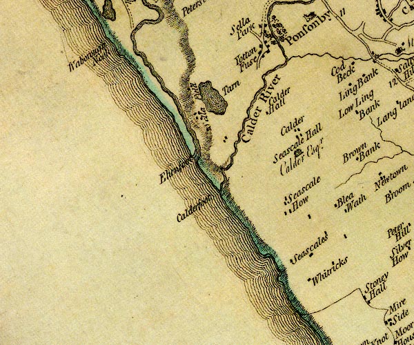 D4NY00SW.jpg "Calderfoot" estuary of the Calder item:- Carlisle Library : Map 2 Image © Carlisle Library |
|
|
|
||
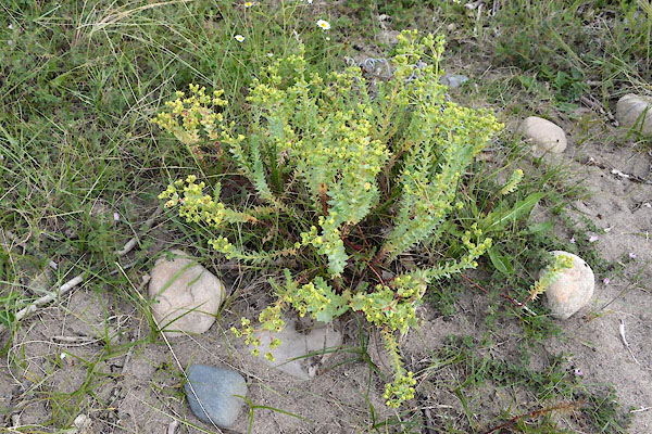 CGH59.jpg Spurge. (taken 28.7.2017)  CGH60.jpg Spurge. (taken 28.7.2017) 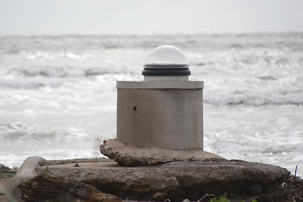 CGH58.jpg A what? there is nothing inside. (taken 28.7.2017) |
||
|
|
||
 Lakes Guides menu.