 Old Cumbria Gazetteer
 |
 |
|
| Caerlaverock Castle, Scotland | ||
| Caerlaverock Castle | ||
| country:- | Scotland | |
| locality type:- | castle | |
| coordinates:- | NY025656 | |
| 1Km square:- | NY0265 | |
| 10Km square:- | NY06 | |
|
|
||
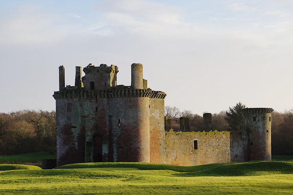 BZS87.jpg (taken 13.12.2013) 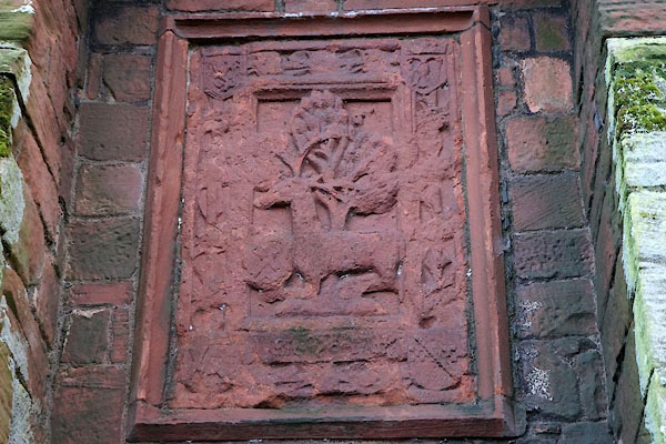 BZS90.jpg Badge of the Maxwell Family. (taken 13.12.2013) |
||
|
|
||
| evidence:- | old map:- Burghley 1590 (facsimile) placename:- Karlaverocke |
|
| source data:- | Facsimile map, A Platt of the Opposete Border of Scotland to ye West Marches of England,
parts of Cumberland and Scotland including the Debateable Land, from a manuscript
drawn for William Cecil, Lord Burghley, about 1590, published by R B Armstrong, 1897. courtesy of the National Library of Scotland 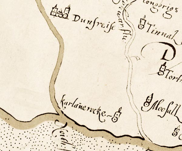 M048NY07.jpg "Karlaverocke" circle, dot, tower item:- National Library of Scotland : MS6113 f.267 Image © National Library of Scotland |
|
|
|
||
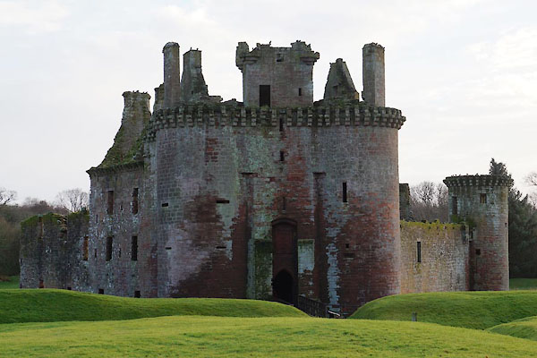 BZS88.jpg (taken 13.12.2013) 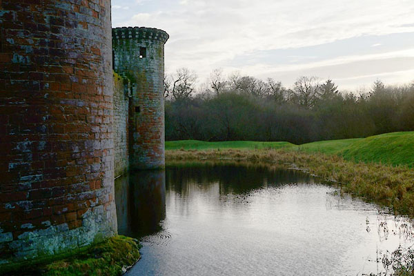 BZS89.jpg Moat. (taken 13.12.2013) 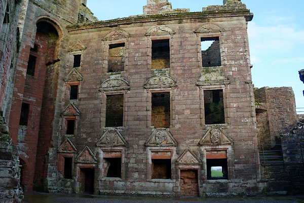 BZS91.jpg Nithsdale Lodging, built by Robert Maxwell, 1634. (taken 13.12.2013) |
||
|
|
||
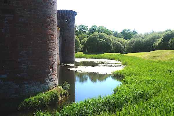 CFB67.jpg (taken 3.6.2016) 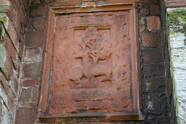 CFB68.jpg (taken 3.6.2016) 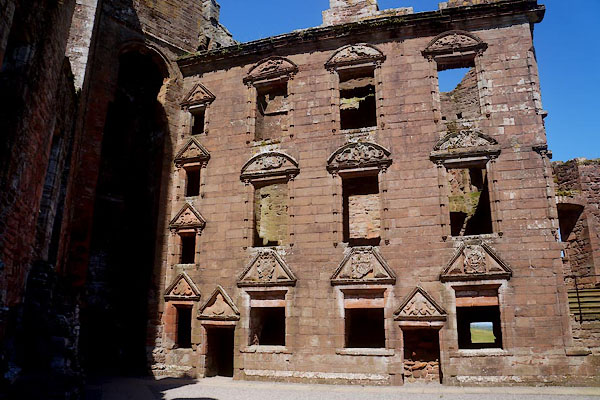 CFB69.jpg (taken 3.6.2016) 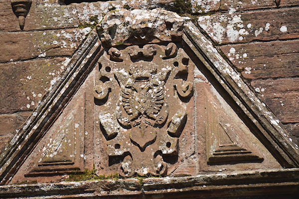 CFB70.jpg (taken 3.6.2016)  CFB71.jpg (taken 3.6.2016)  CFB72.jpg (taken 3.6.2016)  CFB73.jpg (taken 3.6.2016)  CFB74.jpg (taken 3.6.2016)  CFB75.jpg (taken 3.6.2016)  CFB76.jpg (taken 3.6.2016) 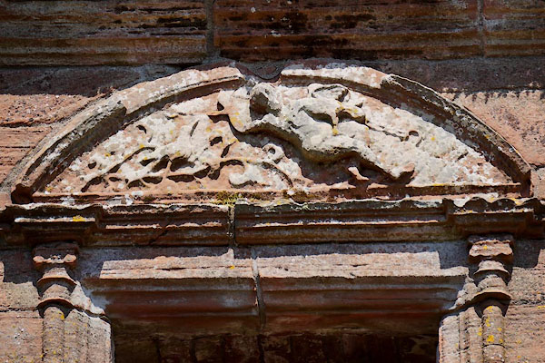 CFB77.jpg (taken 3.6.2016) 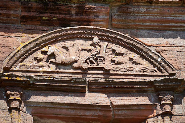 CFB78.jpg (taken 3.6.2016) 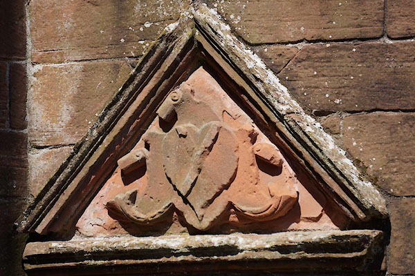 CFB79.jpg (taken 3.6.2016) 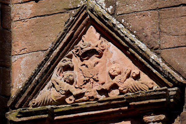 CFB80.jpg (taken 3.6.2016) 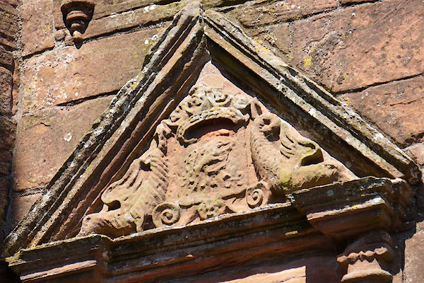 CFB81.jpg (taken 3.6.2016) 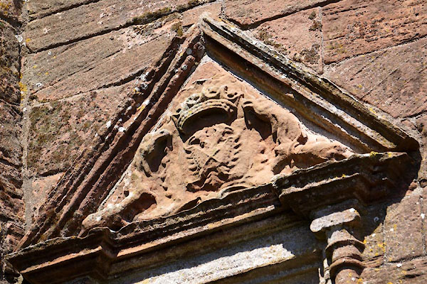 CFB82.jpg (taken 3.6.2016) 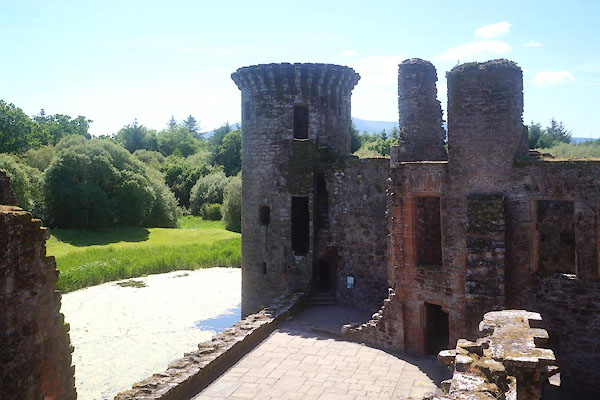 CFB83.jpg (taken 3.6.2016) 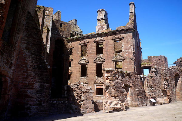 CFB84.jpg (taken 3.6.2016) 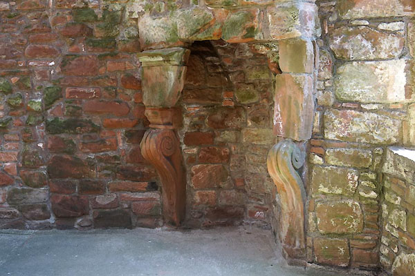 CFB85.jpg (taken 3.6.2016) |
||
|
|
||
 Lakes Guides menu.