 Old Cumbria Gazetteer
 |
 |
|
| Broad Dale, Osmotherley | ||
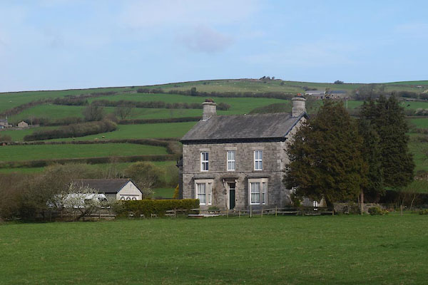
| Broad Dale | ||
| civil parish:- | Osmotherley (formerly Lancashire) | |
| county:- | Cumbria | |
| locality type:- | buildings | |
| coordinates:- | SD27347788 | |
| 1Km square:- | SD2777 | |
| 10Km square:- | SD27 | |
|
|
||
 CCV57.jpg (taken 17.4.2015) |
||
|
|
||
| evidence:- | old map:- OS County Series (Lan 16 3) placename:- Broad Dale |
|
| source data:- | Maps, County Series maps of Great Britain, scales 6 and 25
inches to 1 mile, published by the Ordnance Survey, Southampton,
Hampshire, from about 1863 to 1948. |
|
|
|
||
 Lakes Guides menu.