 Old Cumbria Gazetteer
 |
 |
|
| bridge, Wetheral (2) | ||
| site name:- | Pow Maughan | |
| civil parish:- | Wetheral (formerly Cumberland) | |
| county:- | Cumbria | |
| locality type:- | bridge | |
| coordinates:- | NY46495081 | |
| 1Km square:- | NY4650 | |
| 10Km square:- | NY45 | |
|
|
||
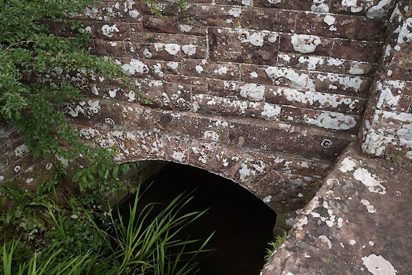 CBE70.jpg (taken 21.7.2014)  CBE71.jpg "1905" (taken 21.7.2014) |
||
|
|
||
| evidence:- | old map:- OS County Series (Cmd 24 14) |
|
| source data:- | Maps, County Series maps of Great Britain, scales 6 and 25
inches to 1 mile, published by the Ordnance Survey, Southampton,
Hampshire, from about 1863 to 1948. "Ford / Foot Bridge" |
|
|
|
||
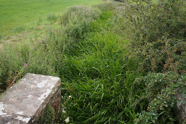 CBE72.jpg View of river. (taken 21.7.2104) |
||
|
|
||
 Lakes Guides menu.