 Old Cumbria Gazetteer
 |
 |
|
| Bransty Arch, Whitehaven | ||
| gone | ||
| Bransty Arch | ||
| site name:- | tramroad, Whingill Collieries | |
| locality:- | Bransty | |
| locality:- | Whitehaven | |
| civil parish:- | Whitehaven (formerly Cumberland) | |
| county:- | Cumbria | |
| locality type:- | railway bridge | |
| coordinates:- | NX97431848 (estimate) | |
| 1Km square:- | NX9718 | |
| 10Km square:- | NX91 | |
|
|
||
| evidence:- | old map:- OS County Series (Cmd 67 2) placename:- Bransty Arch |
|
| source data:- | Maps, County Series maps of Great Britain, scales 6 and 25
inches to 1 mile, published by the Ordnance Survey, Southampton,
Hampshire, from about 1863 to 1948. |
|
|
|
||
| evidence:- | probably old map:- Donald 1774 (Cmd) |
|
| source data:- | Map, hand coloured engraving, 3x2 sheets, The County of Cumberland, scale about 1
inch to 1 mile, by Thomas Donald, engraved and published by Joseph Hodskinson, 29
Arundel Street, Strand, London, 1774.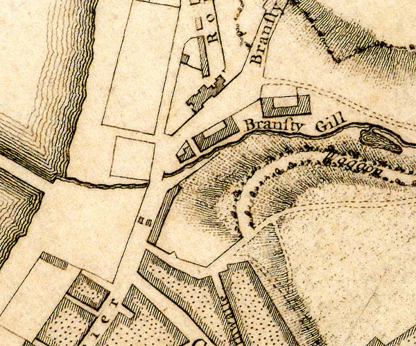 D49718M.jpg piers, the bridge was not finished till 1803 item:- Carlisle Library : Map 2 Image © Carlisle Library |
|
|
|
||
| hearsay:- |
The arch was planned by Carlisle Spedding to continue the Whingill tramroad over the
turnpike road; 27 feet high, 20 foot span, the Bransty Arch. The approach rails were
to be on wooden 'geers' like staiths, trestles? not on embankments. Carlisle Spedding
died in a mine explosion, 1755, and the bridge was not opened till 9 August 1803,
following a recommendation by John Smeaton in 1775. It was demolished 10 March 1927
as it was in the way of traffic. |
|
| Lewis, M J T: 1970: Early Wooden Railways: Routlegde and Kegan Paul (London):: ISBN
0 7100 7818 8 Joy, David: 1983 & 1990: Regional History of the Railways of Great Britain &Lake Counties, The: David and Charles (Newton Abbot, Devon) |
||
|
|
||
 Lakes Guides menu.