 Old Cumbria Gazetteer
 |
 |
|
| Croft Bowling Club, Cockermouth | ||
| Croft Bowling Club | ||
| locality:- | Cockermouth | |
| civil parish:- | Cockermouth (formerly Cumberland) | |
| county:- | Cumbria | |
| locality type:- | bowling green | |
| coordinates:- | NY12233058 | |
| 1Km square:- | NY1230 | |
| 10Km square:- | NY13 | |
|
|
||
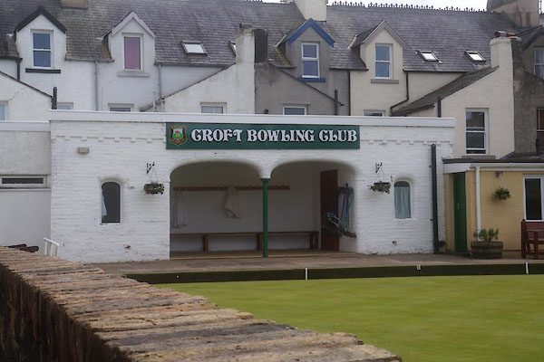 CGD12.jpg (taken 19.5.2017) 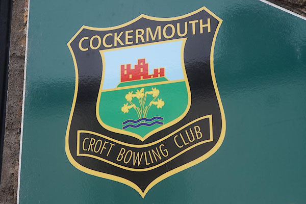 CGD13.jpg Badge. (taken 19.5.2017) |
||
|
|
||
| evidence:- | old map:- OS County Series (Cmd 54 4) |
|
| source data:- | Maps, County Series maps of Great Britain, scales 6 and 25
inches to 1 mile, published by the Ordnance Survey, Southampton,
Hampshire, from about 1863 to 1948. "Bowling Green" |
|
|
|
||
 Lakes Guides menu.