 Old Cumbria Gazetteer
 |
 |
|
| bield, Ravenstonedale (3) | ||
| locality:- | Ravenstonedale Common | |
| civil parish:- | Ravenstonedale (formerly Westmorland) | |
| county:- | Cumbria | |
| locality type:- | bield | |
| coordinates:- | SD75249996 | |
| 1Km square:- | SD7599 | |
| 10Km square:- | SD79 | |
|
|
||
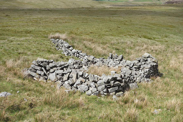 CDD31.jpg (taken 26.5.2015) 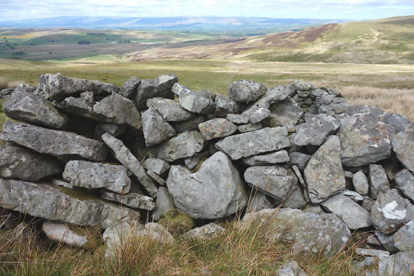 CDD32.jpg Walling. (taken 26.5.2015) |
||
|
|
||
| evidence:- | old map:- OS County Series (Wmd 36 2) |
|
| source data:- | Maps, County Series maps of Great Britain, scales 6 and 25
inches to 1 mile, published by the Ordnance Survey, Southampton,
Hampshire, from about 1863 to 1948. "Bield" |
|
|
|
||
 Lakes Guides menu.