


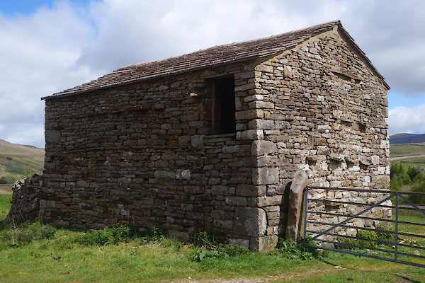
CDC31.jpg (taken 26.5.2015)
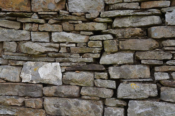
CDC32.jpg Walling.
(taken 26.5.2015)
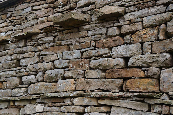
CDC33.jpg Walling, with through stones.
(taken 26.5.2015)
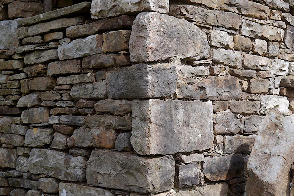
CDC34.jpg Quoins.
(taken 26.5.2015)
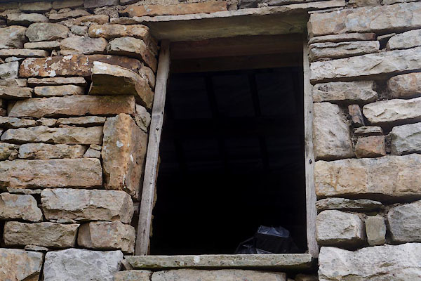
CDC35.jpg Door hole.
(taken 26.5.2015)
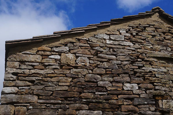
CDC36.jpg Gable.
(taken 26.5.2015)
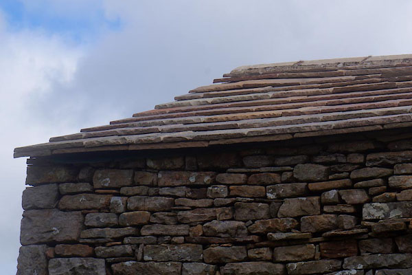
CDC37.jpg Roofing.
(taken 26.5.2015)
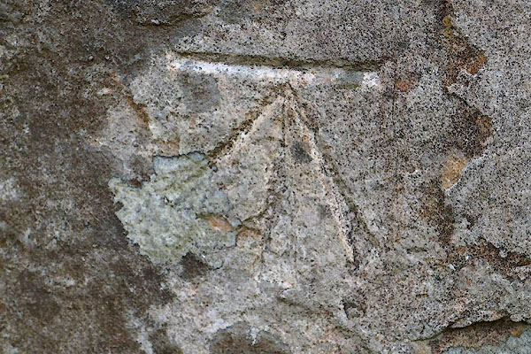
CDC38.jpg Cut bench mark, altitude 1193 feet, 363.68m.
(taken 26.5.2015)

 Lakes Guides menu.