 Old Cumbria Gazetteer
 |
 |
|
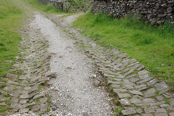
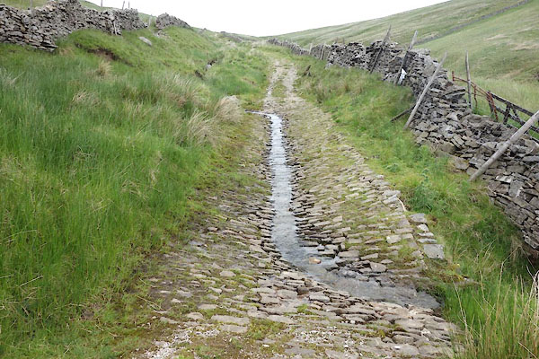
| track, Stone House | ||
| locality:- | Stone House | |
| locality:- | Arten Gill | |
| civil parish:- | Dent (formerly Yorkshire) | |
| county:- | Cumbria | |
| locality type:- | track | |
| locality type:- | drove road | |
| coordinates:- | SD77948589 (etc) | |
| 1Km square:- | SD7785 | |
| 10Km square:- | SD78 | |
|
|
||
 BYQ45.jpg (taken 25.6.2013) 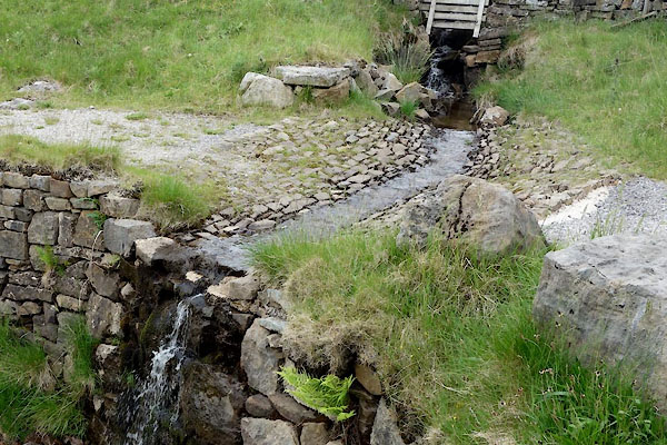 BYQ46.jpg (taken 25.6.2013) |
||
|
|
||
 BYQ47.jpg (taken 25.6.2013) 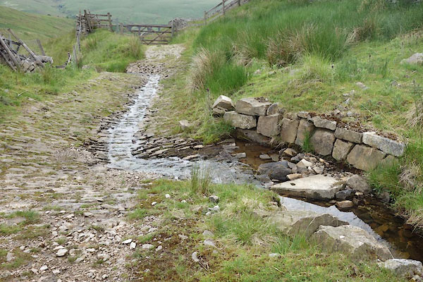 BYQ48.jpg (taken 25.6.2013) |
||
|
|
||
| hearsay:- |
This is part of a drove road from the western dales of Yorkshire to Hawes, from Dentdale
to Wensleydale. |
|
| Coal from pits on Dent Fell was brought down this track. |
||
|
|
||
 Lakes Guides menu.