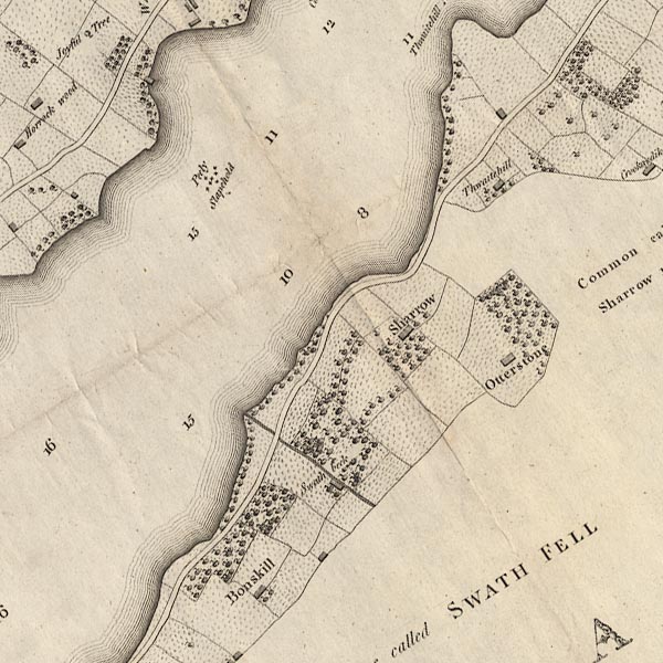


 Ullswater
placename:- Swarth Beck
 goto source
Page 155:- "Opposite to Watermillock, a cataract descends down the front of Swarth-fell, in Martindale-forest. ..."
placename:- Swarthbeck
item:- waterfall; weather signs
 goto source
Page 37:- "..."
"Next sail towards the Westmorland side of the Lake, to the foot of Swarth-beck. If this brook chance to be full of water, the vast number of grand cascades will here regale the eye of the beholder: these fall in innumerable gradations, over hollow craggy rocks, till the brook precipitates itself into the Lake. The noise of these falls is very considerable, and may be heard at the distance of two miles, and is reverberated from rock to rock in a thousand different tones. These sounds are the barometer of the neighbourhood. Traditions handed won from father to son have formed a set of rules, by which the farmer is enabled to predict with tolerable certainty the weather of the day from the sound these cascades emit the preceding evening."
"It might perhaps puzzle even a philosopher to assign a reason why the different state of the atmosphere should thus affect the sound: the peasants think not of the cause, but are seldom mistaken in the event: this I know for certain, that in a squally south wind, which blows in gusts from the mountains, the noise and bellowing of these cataracts emit a variety of notes, which I cannot better explain than by comparing them to an AEolian Harp."

CL4NY42K.jpg
item:- private collection : 10.4
Image © see bottom of page
 |
NY45962008 Swarthbeck Gill (Barton / Martindale) |
