 Old Cumbria Gazetteer
 |
 |
|
| viewpoint, Grange-over-Sands | ||
| locality:- | Promenade, The | |
| locality:- | Grange-over-Sands | |
| civil parish:- | Grange-over-Sands (formerly Lancashire) | |
| county:- | Cumbria | |
| locality type:- | viewpoint | |
| locality type:- | outline view | |
| coordinates:- | SD41227814 | |
| 1Km square:- | SD4178 | |
| 10Km square:- | SD47 | |
|
|
||
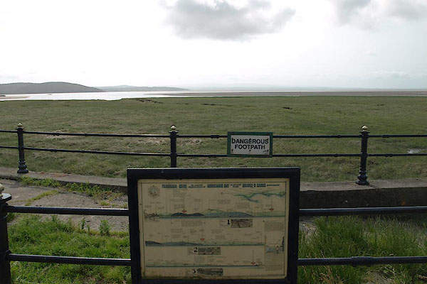 BYR46.jpg (taken 5.7.2013) 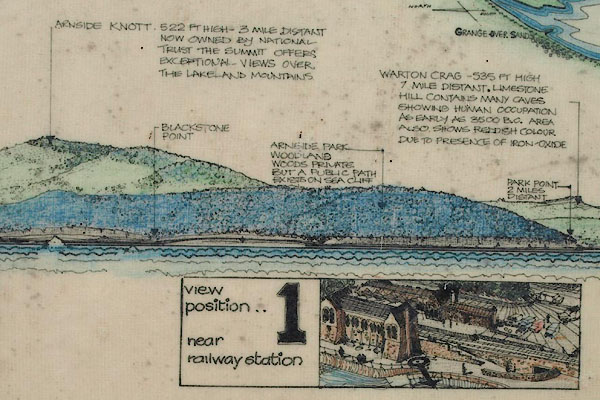 BYR48.jpg Detail. (taken 5.7.2013) |
||
| The same panel is used at 2 other locations. Drawn by M C Stockdale, architect, and
made by Profile Publications, Grange-over-Sands, 1987. |
||
|
|
||
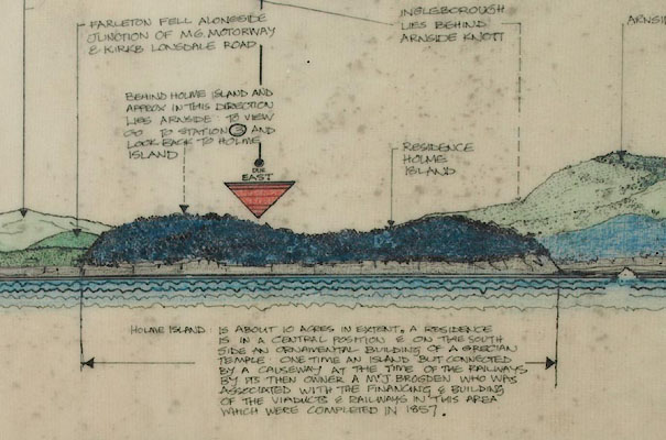 BYR47.jpg Detail. (taken 5.7.2013) |
||
|
|
||
 Lakes Guides menu.