 Old Cumbria Gazetteer
 |
 |
|
| Loadpot Hole, Askham | ||
| Loadpot Hole | ||
| locality:- | Loadpot Hill | |
| civil parish:- | Askham (formerly Westmorland) | |
| county:- | Cumbria | |
| locality type:- | combe (?) | |
| coordinates:- | NY45881864 | |
| 1Km square:- | NY4518 | |
| 10Km square:- | NY41 | |
|
|
||
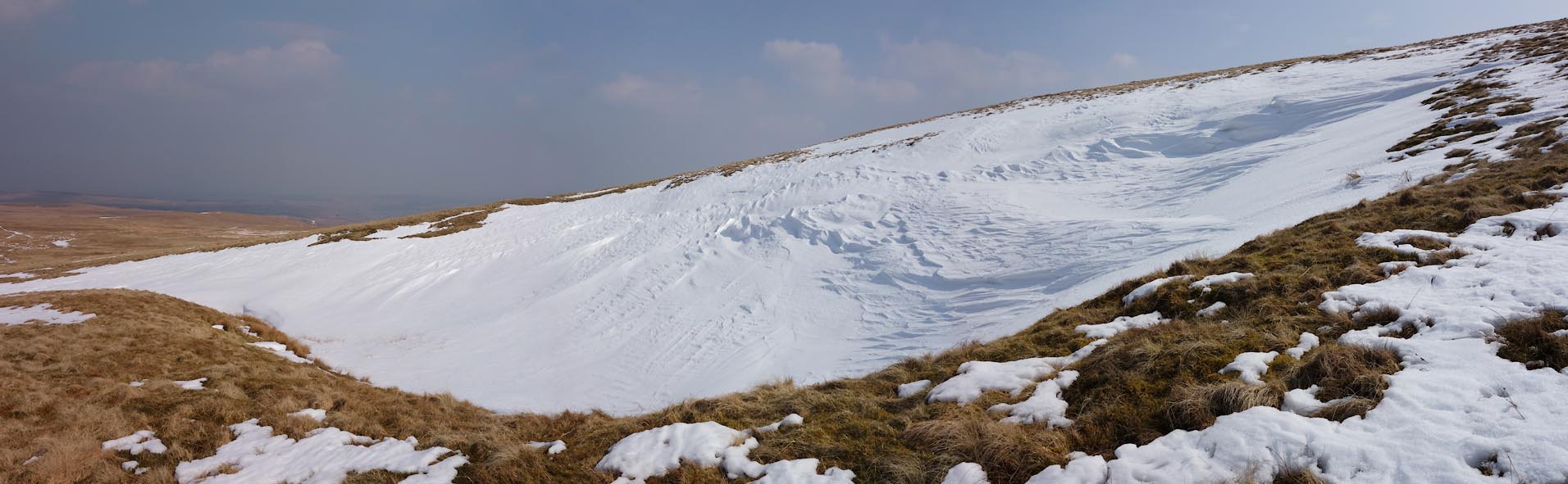 Click to enlarge BYE39.jpg (taken 10.4.2013) 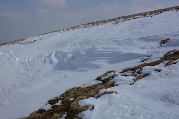 BYE40.jpg (taken 10.4.2013) |
||
|
|
||
| evidence:- | old map:- OS County Series (Wmd 13) placename:- Load Pot |
|
| source data:- | Maps, County Series maps of Great Britain, scales 6 and 25
inches to 1 mile, published by the Ordnance Survey, Southampton,
Hampshire, from about 1863 to 1948. Coombe shown by hachures "Load Ppot" |
|
|
|
||
 Lakes Guides menu.