 Old Cumbria Gazetteer
 |
 |
|
| Great Gable, Above Derwent | ||
| Great Gable | ||
| locality:- | Dale Head | |
| civil parish:- | Above Derwent (formerly Cumberland) | |
| county:- | Cumbria | |
| locality type:- | rocks | |
| coordinates:- | NY22591566 (etc) | |
| 1Km square:- | NY2215 | |
| 10Km square:- | NY21 | |
| altitude:- | 2949 feet | |
|
|
||
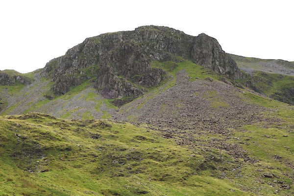 CBJ07.jpg (taken 4.8.2014) 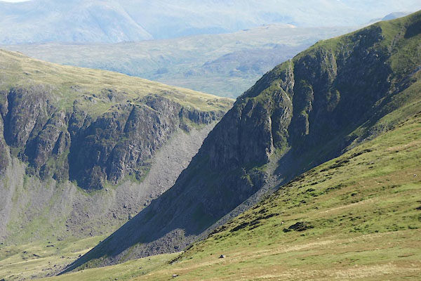 BZG47.jpg (taken 6.9.2013) |
||
|
|
||
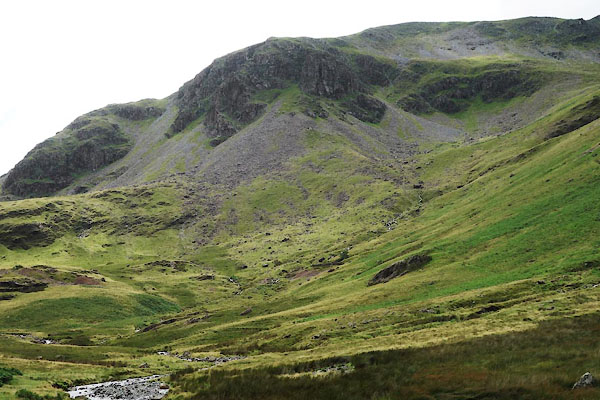 CBJ06.jpg (taken 4.8.2014) |
||
|
|
||
| evidence:- | old map:- OS County Series (Cmd 69 12) placename:- Great Gable placename:- Gable, Great |
|
| source data:- | Maps, County Series maps of Great Britain, scales 6 and 25
inches to 1 mile, published by the Ordnance Survey, Southampton,
Hampshire, from about 1863 to 1948. |
|
|
|
||
| evidence:- | old photograph:- Marr 1916 placename:- Great Gable |
|
| source data:- | Photograph, halftone print, Head of Ennerdale, Cumberland, 1916.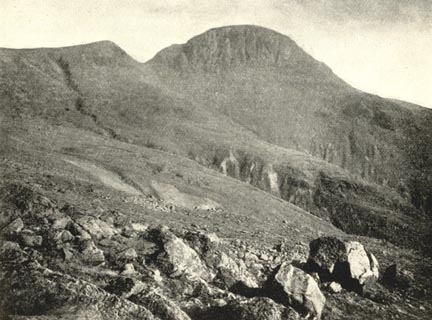 click to enlarge click to enlargeMA1204.jpg item:- JandMN : 173.12 Image © see bottom of page |
|
|
|
||
| evidence:- | outline view:- Seascale 1920s-30s placename:- Great Gable |
|
| source data:- | Print, uncoloured engraving, outline view, mountains from Seascale, published by Edward
Burrow and Son, Cheltenham, Gloucestershire, 1920s-30s.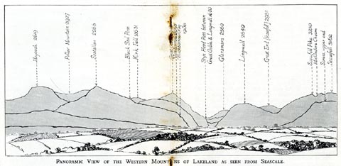 click to enlarge click to enlargeSES113.jpg "PANORAMIC VIEW OF THE WESTERN MOUNTAINS OF LAKELAND AS SEEN FROM SEASCALE." "... Great Gable 2949 ..." item:- JandMN : 1079.13 Image © see bottom of page |
|
|
|
||
 Lakes Guides menu.