 Old Cumbria Gazetteer
 |
 |
|
| Fleetwith Edge, Buttermere | ||
| Fleetwith Edge | ||
| site name:- | Fleetwith | |
| civil parish:- | Buttermere (formerly Cumberland) | |
| county:- | Cumbria | |
| locality type:- | hill | |
| coordinates:- | NY20241440 (etc) | |
| 1Km square:- | NY2014 | |
| 10Km square:- | NY21 | |
|
|
||
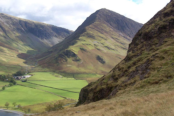 BXM50.jpg (taken 6.10.2012) 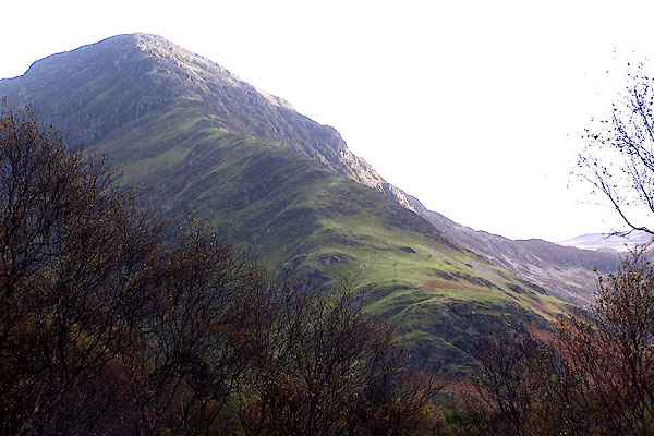 BJZ29.jpg From near Gatesgarth. (taken 7.11.2005) |
||
|
|
||
| evidence:- | old map:- OS County Series (Cmd 69 11) placename:- Fleetwith Edge |
|
| source data:- | Maps, County Series maps of Great Britain, scales 6 and 25
inches to 1 mile, published by the Ordnance Survey, Southampton,
Hampshire, from about 1863 to 1948. |
|
|
|
||
 Lakes Guides menu.