 Old Cumbria Gazetteer
 |
 |
|
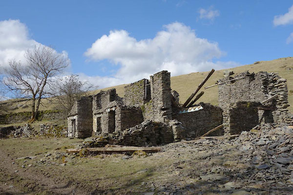
| East View, Strickland Roger | ||
| East View | ||
| civil parish:- | Strickland Roger (formerly Westmorland) | |
| county:- | Cumbria | |
| locality type:- | building/s (ruin) | |
| coordinates:- | SD52069885 | |
| 1Km square:- | SD5298 | |
| 10Km square:- | SD59 | |
|
|
||
 BYA21.jpg (taken 29.3.2013) 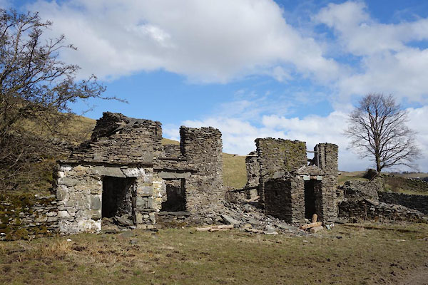 BYA22.jpg (taken 29.3.2013) |
||
|
|
||
| evidence:- | old map:- OS County Series (Wmd 33 8) placename:- Potterfell House |
|
| source data:- | Maps, County Series maps of Great Britain, scales 6 and 25
inches to 1 mile, published by the Ordnance Survey, Southampton,
Hampshire, from about 1863 to 1948. |
|
|
|
||
 Lakes Guides menu.