 |
 |
   |
|
|
|
Bennethead |
| civil parish:- |
Matterdale (formerly Cumberland) |
| county:- |
Cumbria |
| locality type:- |
locality |
| locality type:- |
buildings |
| coordinates:- |
NY44202383 (etc) |
| 1Km square:- |
NY4423 |
| 10Km square:- |
NY42 |
|
|
| evidence:- |
old map:- OS County Series (Cmd 66 1)
placename:- Bennethead
|
| source data:- |
Maps, County Series maps of Great Britain, scales 6 and 25
inches to 1 mile, published by the Ordnance Survey, Southampton,
Hampshire, from about 1863 to 1948.
|
|
|
| evidence:- |
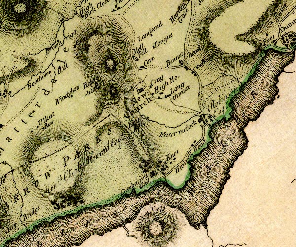
old map:- Donald 1774 (Cmd)
placename:- Bennethead
|
| source data:- |
Map, hand coloured engraving, 3x2 sheets, The County of Cumberland, scale about 1
inch to 1 mile, by Thomas Donald, engraved and published by Joseph Hodskinson, 29
Arundel Street, Strand, London, 1774.

D4NY42SW.jpg
"Bennethead"
block or blocks, labelled in lowercase; a hamlet or just a house
item:- Carlisle Library : Map 2
Image © Carlisle Library |
|
|
| evidence:- |
old text:- Clarke 1787
placename:- Benethead Villages
item:- placename, Bennethead
|
| source data:- |
Guide book, A Survey of the Lakes of Cumberland, Westmorland,
and Lancashire, written and published by James Clarke, Penrith,
Cumberland, and in London etc, 1787; published 1787-93.
 goto source goto source
page 25:- "..."
"Benethead-Banks, and Benethead-Villages, have undoubtedly taken their names from this
monastery [suggested religious house on Dunmallard Hill], as lying at the upper end
of its territories. ..."
|
|
|
| evidence:- |
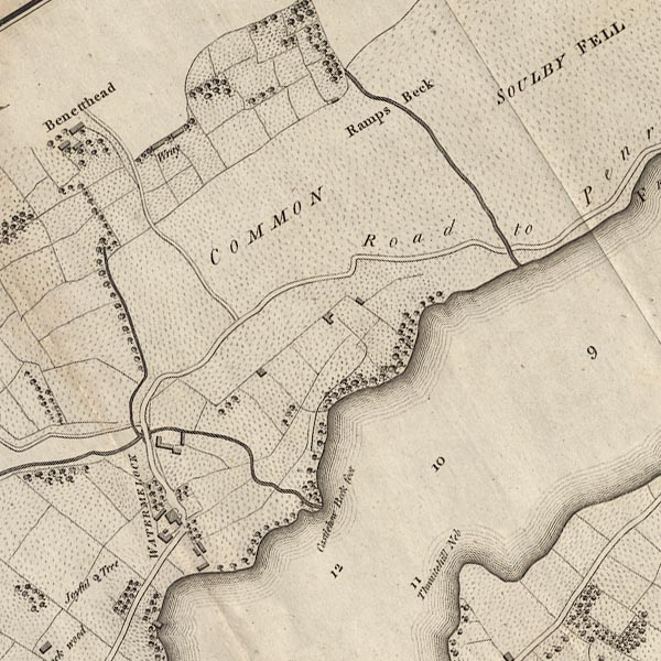
old map:- Clarke 1787 map (Ullswater)
placename:- Benetthead
|
| source data:- |
Map, A Map of the Lake Ullswater and its Environs, scale about
6.5 ins to 1 mile, by James Clarke, engraved by S J Neele, 352
Strand, published by James Clarke, Penrith, Cumberland and in
London etc, 1787.

CL4NY42L.jpg
"Benetthead"
item:- private collection : 10.4
Image © see bottom of page
|
|
|
| places:- |
 |
NY44102384 Bennethead (Matterdale) L |
|
|
 |
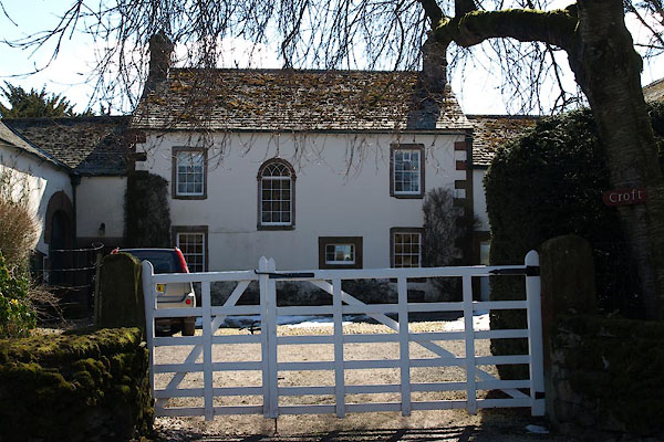
NY44072378 Croft, The (Matterdale) L |
|
|
 |
NY43902430 Red Mire (Matterdale) |
|
|
 |
NY44292374 sawmill, Bennethead (Matterdale) gone |
|
|
 |
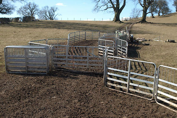
NY44042382 sheepfold, Bennethead (Matterdale) |
|
|
 |
NY44472385 Wreay Farm (Matterdale) |
|


 goto source


