 Old Cumbria Gazetteer
 |
 |
|
| Whinny Brow, Underskiddaw | ||
| Whinny Brow | ||
| locality:- | Latrigg | |
| civil parish:- | Underskiddaw (formerly Cumberland) | |
| county:- | Cumbria | |
| locality type:- | hill (?) | |
| coordinates:- | NY27412445 | |
| 1Km square:- | NY2724 | |
| 10Km square:- | NY22 | |
|
|
||
| evidence:- | old map:- OS County Series (Cmd 64 2) placename:- Whinny Brow |
|
| source data:- | Maps, County Series maps of Great Britain, scales 6 and 25
inches to 1 mile, published by the Ordnance Survey, Southampton,
Hampshire, from about 1863 to 1948. |
|
|
|
||
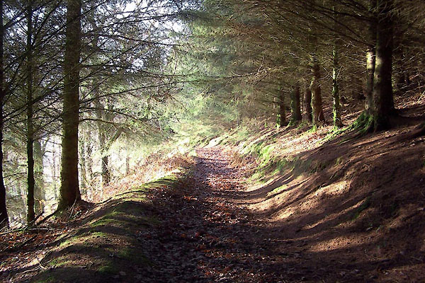 BXT32.jpg (taken 5.12.2012) 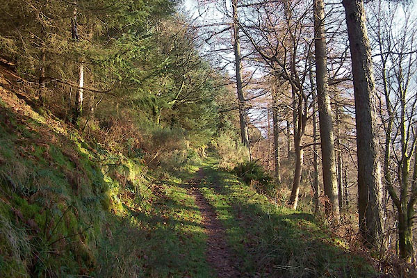 BXT33.jpg (taken 5.12.2012) |
||
|
|
||
 Lakes Guides menu.