 Old Cumbria Gazetteer
 |
 |
|
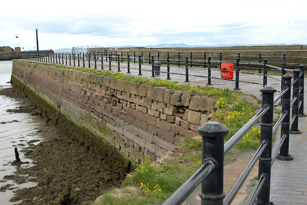
| Tongue Pier, Maryport Harbour | ||
| Tongue Pier | ||
| locality:- | Maryport Harbour | |
| locality:- | Maryport | |
| civil parish:- | Maryport (formerly Cumberland) | |
| county:- | Cumbria | |
| locality type:- | pier | |
| coordinates:- | NY03283674 | |
| 1Km square:- | NY0336 | |
| 10Km square:- | NY03 | |
|
|
||
 BWI12.jpg (taken 4.5.2012) 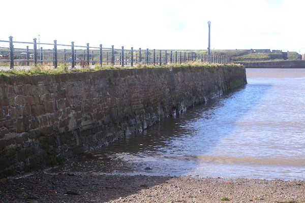 CFN65.jpg (taken 30.9.2016) |
||
|
|
||
| evidence:- | old map:- OS County Series (Cmd 44 8) placename:- Tongue Pier |
|
| source data:- | Maps, County Series maps of Great Britain, scales 6 and 25
inches to 1 mile, published by the Ordnance Survey, Southampton,
Hampshire, from about 1863 to 1948. |
|
|
|
||
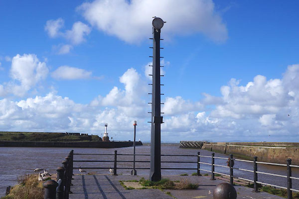
| evidence:- | old text:- Admiralty 1933 placename:- Tongue Pier |
|
| source data:- |  goto source goto sourcePage 397:- "..." "During tidal hours, namely from 2 1/2 hours before until 1 1/2 hours after high water, ..." "During the same period, a red light is exhibited, at an elevation of 25 feet (7m6), from a mast, 20 feet (6m1) in height, situated at the head of Tongue pier." |
|
|
|
||
 CFN69.jpg Navigation beacon? (taken 30.9.2016) |
||
|
|
||
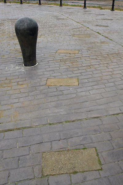
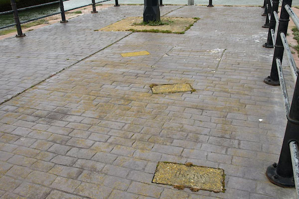
| MN photo:- |
A poetry path, slabs on the pier. |
|
| The beginning:- |
||
 BWI13.jpg (taken 4.5.2012) 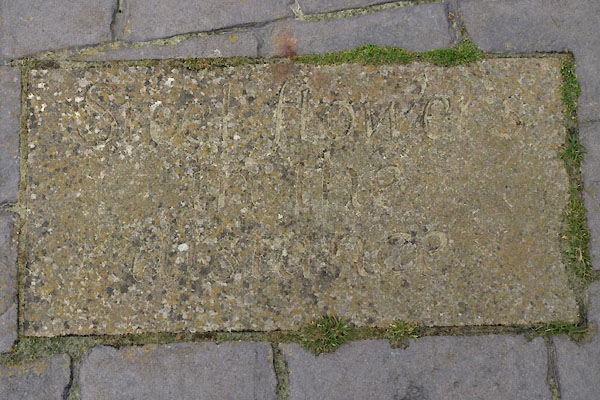 BWI14.jpg "Steel flowers / in the / distance" (taken 4.5.2012) 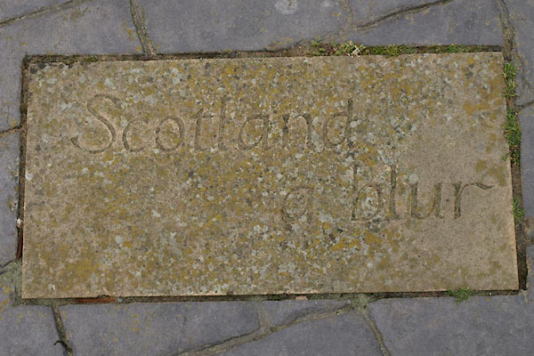 BWI15.jpg "Scotland / a blur" (taken 4.5.2012) |
||
| The end:- |
||
 BWI16.jpg (taken 4.5.2012) 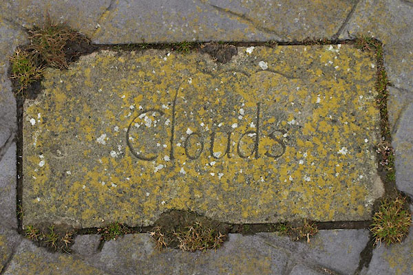 BWI17.jpg "Clouds" (taken 4.5.2012) 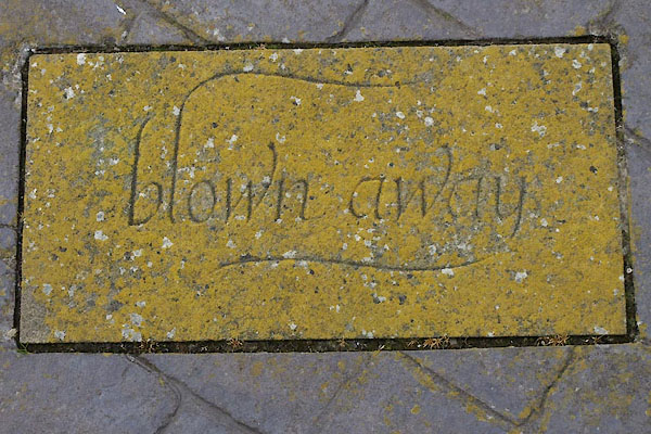 BWI18.jpg "blown / away" (taken 4.5.2012) |
||
|
|
||
Lakes Guides menu.