 |
 |
   |
|
|
|
Settlebeck |
| locality:- |
Sedbergh |
| civil parish:- |
Sedbergh (formerly Yorkshire) |
| county:- |
Cumbria |
| locality type:- |
street |
| locality type:- |
locality |
| coordinates:- |
SD66329206 |
| 1Km square:- |
SD6692 |
| 10Km square:- |
SD69 |
|
|
| evidence:- |
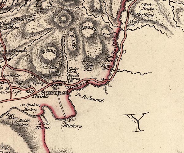
old map:- Jefferys 1770 (Wmd)
placename:- Settle Beck
|
| source data:- |
Map, 4 sheets, The County of Westmoreland, scale 1 inch to 1
mile, surveyed 1768, and engraved and published by Thomas
Jefferys, London, 1770.

J5SD69SE.jpg
"Settle Beck"
circle, labelled in italic lowercase text; settlement, farm, house, or hamlet?
item:- National Library of Scotland : EME.s.47
Image © National Library of Scotland |
|
|
| evidence:- |
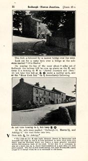
old itinerary:- Johnson 1908 (Roads/Cum)
|
| source data:- |
Itinerary, Route 40 reverse in Roads Made Easy by Picture and Pen, Glasgow to Doncaster,
through Hawes, by Claude Johnson, edited by Lord Montagu, published by The Car Illustrated,
168 Piccadilly, London, 1908.
 click to enlarge click to enlarge
JS5076.jpg
item:- private collection : 268.9
Image © see bottom of page
|
|
|


 click to enlarge
 Lakes Guides menu.