 Old Cumbria Gazetteer
 |
 |
|
| quaker burial ground, Grisedale | ||
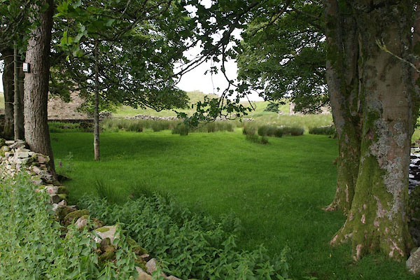
| Scale Quaker Burial Ground | ||
| locality:- | Scale | |
| locality:- | Grisedale | |
| civil parish:- | Garsdale (formerly Yorkshire) | |
| county:- | Cumbria | |
| locality type:- | burial ground | |
| locality type:- | quaker burial ground | |
| coordinates:- | SD76759391 | |
| 1Km square:- | SD7693 | |
| 10Km square:- | SD79 | |
|
|
||
 BWX59.jpg (taken 22.7.2012) |
||
|
|
||
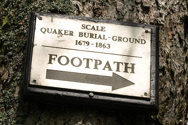 BWX60.jpg Notice. (taken 22.7.2012) |
||
| The emphatic notice points you off this private land: BUT it's in now a right to roam
area anyway. |
||
|
|
||
| hearsay:- |
The land was given by Reynold Winn, who lived at West Scale. It was used from 1680
to 1843, 122 interrments. |
|
|
|
||
 Lakes Guides menu.