 Old Cumbria Gazetteer
 |
 |
|
| Plumgarths Farm, Plumgarths | ||
| Plumgarths Farm | ||
| Middle Plumgarths | ||
| locality:- | Plumgarths | |
| civil parish:- | Strickland Ketel (formerly Westmorland) | |
| county:- | Cumbria | |
| locality type:- | locality | |
| coordinates:- | SD49489471 (etc) | |
| 1Km square:- | SD4994 | |
| 10Km square:- | SD49 | |
|
|
||
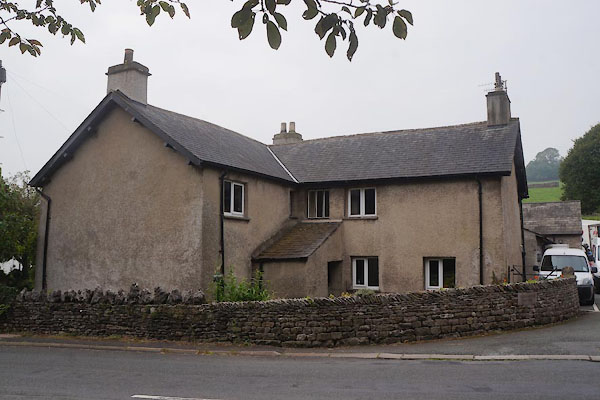 CBQ24.jpg (taken 12.9.2014) 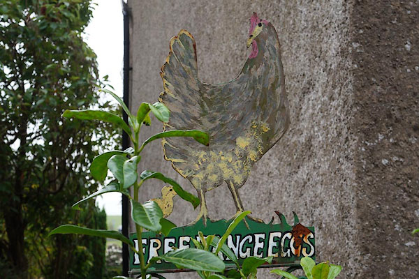 CBQ25.jpg "FREE RANGE EGGS" (taken 12.9.2014) |
||
|
|
||
| evidence:- | old map:- OS County Series (Wmd 38 3) placename:- Middle Plumgarths placename:- Plumgarths, Middle |
|
| source data:- | Maps, County Series maps of Great Britain, scales 6 and 25
inches to 1 mile, published by the Ordnance Survey, Southampton,
Hampshire, from about 1863 to 1948. |
|
|
|
||
 Lakes Guides menu.