 Old Cumbria Gazetteer
 |
 |
|
| Petterilbank Bridge, Hesket | ||
| Petterilbank Bridge | ||
| site name:- | Petteril, River | |
| civil parish:- | Hesket (formerly Cumberland) | |
| county:- | Cumbria | |
| locality type:- | bridge | |
| locality type:- | ford | |
| coordinates:- | NY46364270 | |
| 1Km square:- | NY4642 | |
| 10Km square:- | NY44 | |
|
|
||
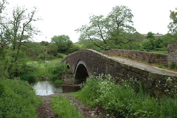 BWR31.jpg and ford alongside (taken 8.6.2012) 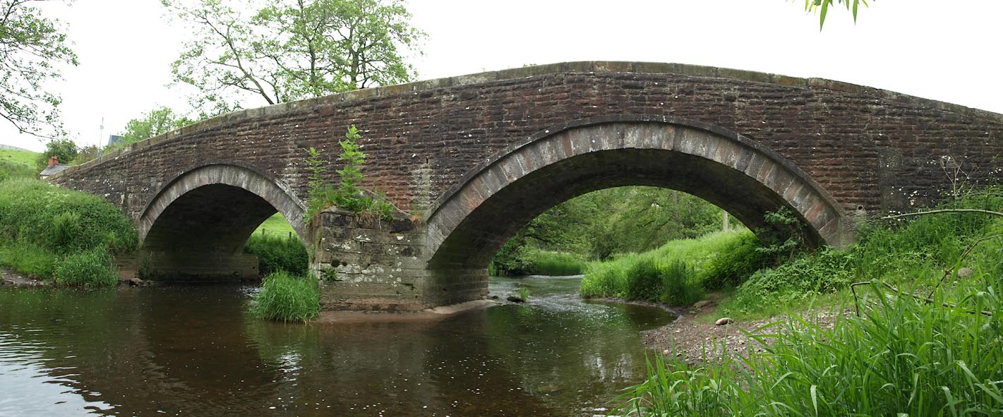 Click to enlarge BWR30.jpg (taken 8.6.2012) |
||
|
|
||
| evidence:- | probably old map:- Bell 1892 placename:- Farlam Bridge placename:- Petteril Green Bridge |
|
| source data:- | Map, colour lithograph, Road Map of Cumberland, by George Joseph
Bell, scale about 2.5 miles to 1 inch, printed by Charles
Thurnam and Sons, Carlisle, Cumberland, 1892.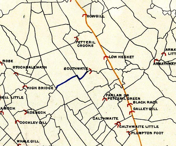 BEL9NY44.jpg "FARLAM OR PETTERIL GREEN" bridge symbol Road map of Cumberland showing County Bridges item:- Carlisle Library : Map 38 Image © Carlisle Library |
|
|
|
||
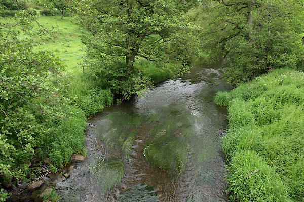 BWR33.jpg View of river. (taken 8.6.2012) |
||
|
|
||
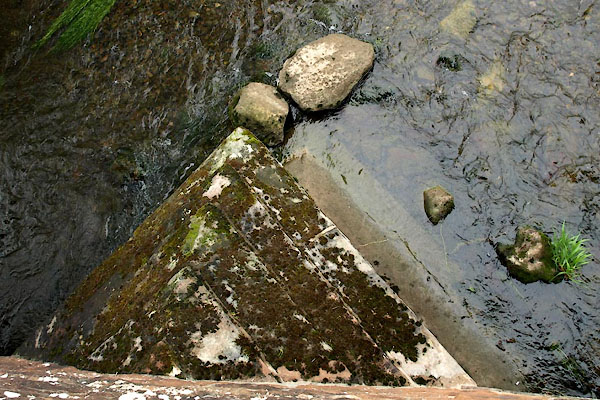 BWR32.jpg Cutwater (taken 8.6.2012) |
||
|
|
||
 Lakes Guides menu.