 Old Cumbria Gazetteer
 |
 |
|
| Maryport: Wood Street | ||
| Wood Street | ||
| locality:- | Maryport | |
| civil parish:- | Maryport (formerly Cumberland) | |
| county:- | Cumbria | |
| locality type:- | street | |
| coordinates:- | NY03623660 (etc) | |
| 1Km square:- | NY0336 | |
| 10Km square:- | NY03 | |
|
|
||
 CFO44.jpg (taken 30.9.2016) 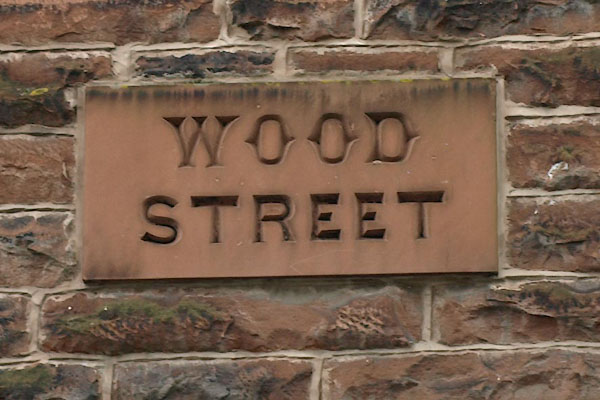 BWI77.jpg Sign, (taken 4.5.2012) |
||
|
|
||
| evidence:- | old map:- OS County Series (Cmd 44 8) placename:- Wood Street |
|
| source data:- | Maps, County Series maps of Great Britain, scales 6 and 25
inches to 1 mile, published by the Ordnance Survey, Southampton,
Hampshire, from about 1863 to 1948. |
|
|
|
||
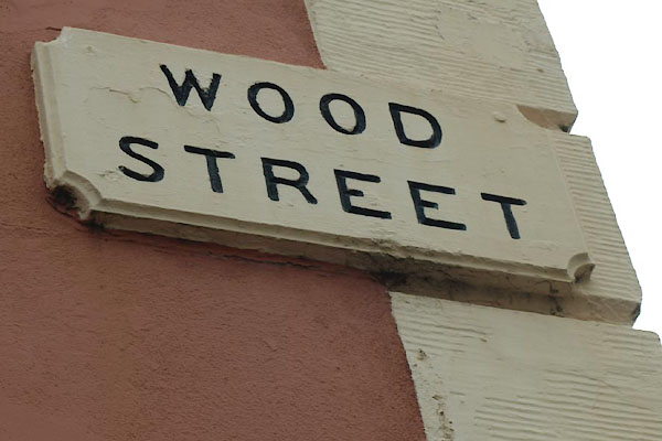 BWI83.jpg Sign, (taken 4.5.2012) |
||
|
|
||
 Lakes Guides menu.