 Old Cumbria Gazetteer
 |
 |
|
| tarn, Preston Patrick | ||
| suggested | ||
| locality:- | Moss Side | |
| locality:- | Moss End | |
| civil parish:- | Preston Patrick (formerly Westmorland) | |
| county:- | Cumbria | |
| locality type:- | tarn (drained?) | |
| coordinates:- | SD53758211 | |
| 1Km square:- | SD5382 | |
| 10Km square:- | SD58 | |
| references:- | Jefferys 1770 |
|
|
|
||
| evidence:- | old map:- Jefferys 1770 (Wmd) |
|
| source data:- | Map, 4 sheets, The County of Westmoreland, scale 1 inch to 1
mile, surveyed 1768, and engraved and published by Thomas
Jefferys, London, 1770.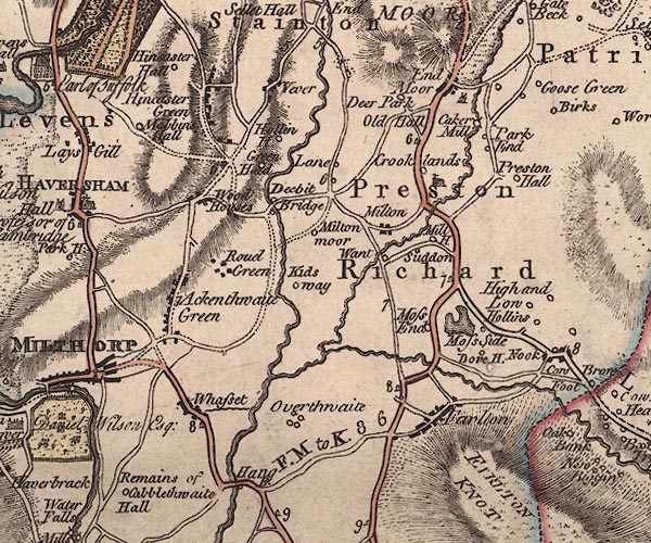 J5SD58SW.jpg outline with form lines; lake or tarn item:- National Library of Scotland : EME.s.47 Image © National Library of Scotland |
|
|
|
||
| evidence:- | old map:- Cary 1789 (edn 1805) |
|
| source data:- | Map, uncoloured engraving, Westmoreland, scale about 2.5 miles
to 1 inch, by John Cary, London, 1789; edition 1805.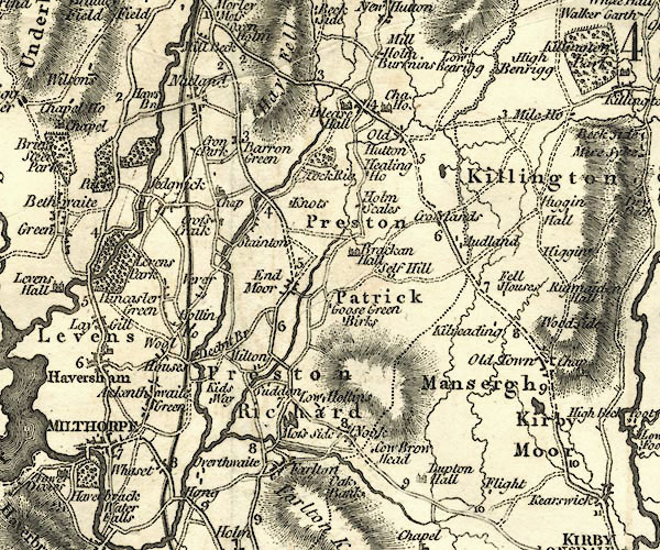 CY24SD58.jpg outline with shore form lines; lake or tarn item:- JandMN : 129 Image © see bottom of page |
|
|
|
||
| evidence:- | old map:- Greenwood 1824 |
|
| source data:- | Maps, Map of the County of Westmorland, scale about 1 inch to 1
mile, and Map of the County of Cumberland, scale about 1 inch to
1 mile, etc, by C and J Greenwood, published by George Pringle
jnr, 70 Queen Street, Cheapside, London, 1823 and 1824
respectively. |
|
|
|
||
 Lakes Guides menu.