 Old Cumbria Gazetteer
 |
 |
|
| Ladyford Bridge, Skelsmergh | ||
| Ladyford Bridge | ||
| site name:- | Kent, River | |
| civil parish:- | Skelsmergh (formerly Westmorland) | |
| civil parish:- | Strickland Roger (formerly Westmorland) | |
| county:- | Cumbria | |
| locality type:- | bridge | |
| coordinates:- | SD51249488 (?) | |
| 1Km square:- | SD5194 | |
| 10Km square:- | SD59 | |
| SummaryText:- | perhaps not the original site? | |
|
|
||
| evidence:- | old map:- Jefferys 1770 (Wmd) placename:- Lady Ford Bridge |
|
| source data:- | Map, 4 sheets, The County of Westmoreland, scale 1 inch to 1
mile, surveyed 1768, and engraved and published by Thomas
Jefferys, London, 1770. J5SD59SW.jpg "Lady Ford Bridge" double line, road, across a stream; bridge item:- National Library of Scotland : EME.s.47 Image © National Library of Scotland |
|
|
|
||
| evidence:- | old map:- Cary 1789 (edn 1805) placename:- Ladyford Bridge |
|
| source data:- | Map, uncoloured engraving, Westmoreland, scale about 2.5 miles
to 1 inch, by John Cary, London, 1789; edition 1805.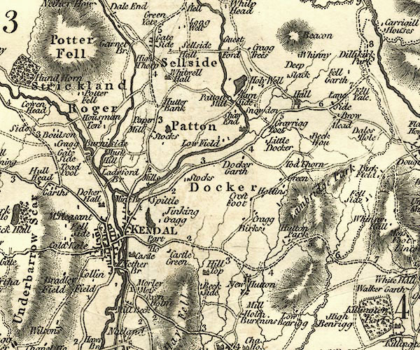 CY24SD59.jpg "Ladyford Br" road across a stream; bridge over the Kent item:- JandMN : 129 Image © see bottom of page |
|
|
|
||
| notes:- |
Perhaps called Carus Green Bridge, or Pepperhag Bridge? |
|
| Close by there was a footbridge that collapsed in 1820. |
||
|
|
||
 Lakes Guides menu.