button to main menu  Old Cumbria Gazetteer
Hebblethwaite Hall Gill
civil parish:-   Sedbergh (formerly Yorkshire)
county:-   Cumbria
locality type:-   river
1Km square:-   SD6892 (etc) 
10Km square:-   SD69


photograph
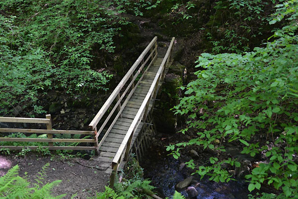
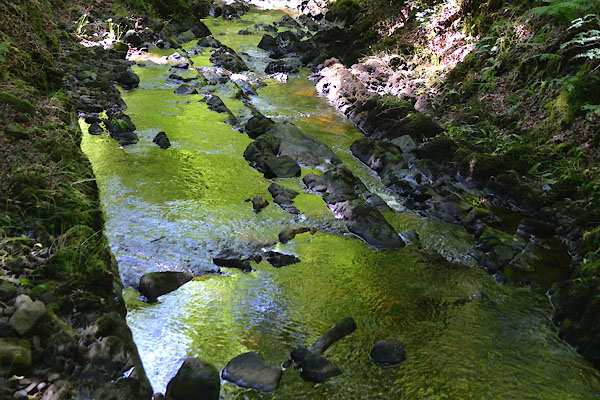
CGE78.jpg  At the footbridge, Hebblethwaite Hall Wood,
(taken 18.6.2017)  
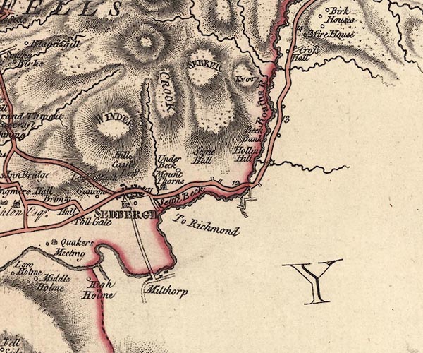
evidence:-   old map:- Jefferys 1770 (Wmd) 
source data:-   Map, 4 sheets, The County of Westmoreland, scale 1 inch to 1 mile, surveyed 1768, and engraved and published by Thomas Jefferys, London, 1770.
image
J5SD69SE.jpg
single or double wiggly line; river 
item:-  National Library of Scotland : EME.s.47
Image © National Library of Scotland

places:-  
SD67979258 Burnt Mill (Sedbergh)
SD69219321 footbridge, Hebblethwaite (Sedbergh)
SD69709328 Penny Farm Bridge (Sedbergh)
button to lakes menu  Lakes Guides menu.