 Old Cumbria Gazetteer
 |
 |
|
|
| Cockermouth: Gote Road | |||
| Gote Road | |||
| locality:- | Goat | ||
| locality:- | Cockermouth | ||
| civil parish:- | Cockermouth (formerly Cumberland) | ||
| county:- | Cumbria | ||
| locality type:- | street | ||
| coordinates:- | NY11583111 | ||
| 1Km square:- | NY1131 | ||
| 10Km square:- | NY13 | ||
|
|
|||
| evidence:- | old map:- Donald 1774 (Cmd) |
||
| source data:- | Map, hand coloured engraving, 3x2 sheets, The County of Cumberland, scale about 1
inch to 1 mile, by Thomas Donald, engraved and published by Joseph Hodskinson, 29
Arundel Street, Strand, London, 1774.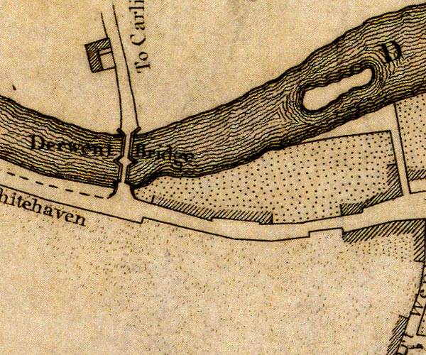 D41130T.jpg street item:- Carlisle Library : Map 2 Image © Carlisle Library |
||
|
|
|||
| mapping:- |  Cockermouth: Spital Ing Lane Cockermouth: Spital Ing Lane Derwent Bridge, Cockermouth Derwent Bridge, Cockermouth Cockermouth: Spital Ing Lane Cockermouth: Spital Ing Lane Derwent Bridge, Cockermouth Derwent Bridge, Cockermouth |
||
|
|
|||
Lakes Guides menu.