 |
 |
|
|
|
| runs into:- |
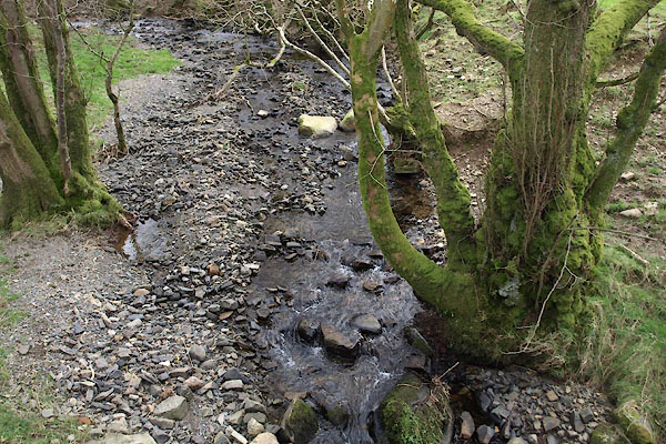
 Sandy Beck Sandy Beck |
|
|
|
|
| civil parish:- |
Blindbothel (formerly Cumberland) |
| county:- |
Cumbria |
| locality type:- |
river |
| 1Km square:- |
NY1125 (etc) |
| 10Km square:- |
NY12 |
|
|
|
BWC38.jpg (taken 19.3.2012)
|
|
|
| evidence:- |
old map:- OS County Series (Cmd 62 4)
placename:- Cat Gill
|
| source data:- |
Maps, County Series maps of Great Britain, scales 6 and 25
inches to 1 mile, published by the Ordnance Survey, Southampton,
Hampshire, from about 1863 to 1948.
|
|
|
| places:- |
|
NY11682596 Aikbank Mill (Blindbothel) |
|
|
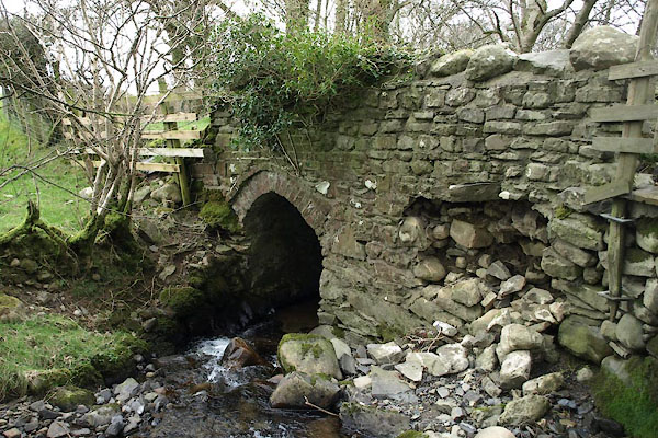 |
NY11752553 Catgill Bridge (Blindbothel) |
|
