 Old Cumbria Gazetteer
 |
 |
|
| Burnt Moor, North Yorkshire | ||
| Burnt Moor | ||
| county:- | North Yorkshire | |
| locality type:- | locality | |
| locality type:- | moor | |
| coordinates:- | NY837008 | |
| 1Km square:- | NY8300 | |
| 10Km square:- | NY80 | |
|
|
||
| evidence:- | old map:- Jefferys 1770 (Wmd) placename:- Swale Head |
|
| source data:- | Map, 4 sheets, The County of Westmoreland, scale 1 inch to 1
mile, surveyed 1768, and engraved and published by Thomas
Jefferys, London, 1770.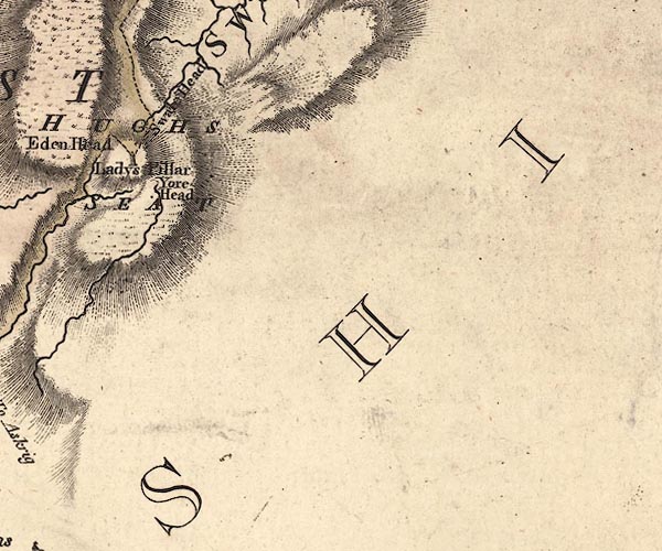 J5SD89NW.jpg "Swale Head" locality, source of some of the head streams of the Swale item:- National Library of Scotland : EME.s.47 Image © National Library of Scotland |
|
|
|
||
 Lakes Guides menu.