 Old Cumbria Gazetteer
 |
 |
|
| boundary stone, Blindbothel/Loweswater | ||
| locality:- | Sourfoot Fell | |
| locality:- | Loweswater Fell | |
| locality:- | Mosser Fell | |
| civil parish:- | Blindbothel (formerly Cumberland) | |
| civil parish:- | Loweswater (formerly Cumberland) | |
| county:- | Cumbria | |
| locality type:- | boundary stone | |
| coordinates:- | NY13422333 | |
| 1Km square:- | NY1323 | |
| 10Km square:- | NY12 | |
|
|
||
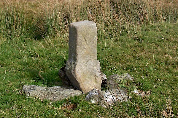 BXK23.jpg More northerly face:- "M" (taken 23.9.2012) 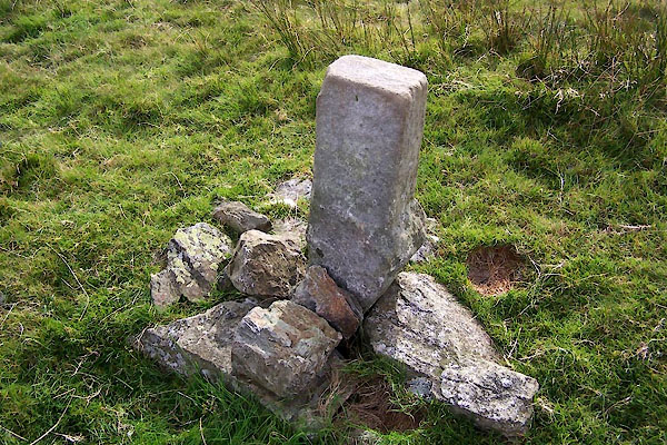 BXK24.jpg More southerly face:- "[B|L|E]" (taken 23.9.2012) |
||
| The letters don't match parish names, but could match fell names, or they could be
for landowner's names? |
||
|
|
||
 Lakes Guides menu.