

placename:- Ben
 click to enlarge
PER2.jpg
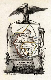
"Ben"
hill hachuring; mountain
item:- Dove Cottage : 2007.38.45
Image © see bottom of page
 Old Cumbria Gazetteer
 |
 |
   |
| Ben, Bewcastle | ||
| suggested | ||
| Ben | ||
| civil parish:- | Bewcastle (formerly Cumberland) (guess) | |
| county:- | Cumbria | |
| locality type:- | hill | |
| 10Km square:- | NY67 (guess) | |
| 10Km square:- | NY67 | |
| references:- | Perrot 1823 |
|
|
|
||
| evidence:- | old map:- Perrot 1823 placename:- Ben |
|
| source data:- | Map, hand coloured engraving, Cumberland and Westmoreland ie
Westmorland, scale about 38 miles to 1 inch, by Aristide Michel
Perrot, engraved by Migneret, 1823, published by Etienne Ledoux,
9 Rue Guenegaud, Paris, France, 1824-48. click to enlarge click to enlargePER2.jpg "Ben" hill hachuring; mountain item:- Dove Cottage : 2007.38.45 Image © see bottom of page |
|
|
|
||
 Lakes Guides menu.