 Old Cumbria Gazetteer
 |
 |
|
| Trough Keld, Murton | ||
| Trough Keld | ||
| civil parish:- | Murton (formerly Westmorland) | |
| county:- | Cumbria | |
| locality type:- | spring | |
| coordinates:- | NY72852252 | |
| 1Km square:- | NY7222 | |
| 10Km square:- | NY72 | |
|
|
||
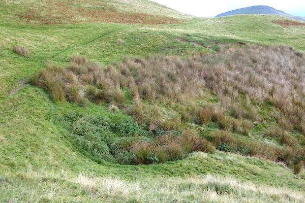 CGR69.jpg (taken 5.10.2017) 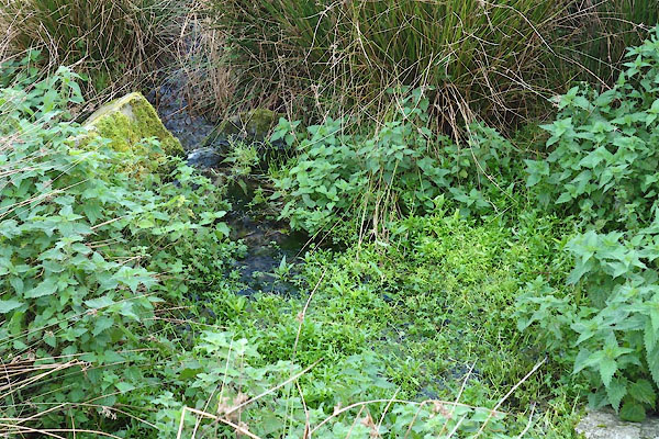 CGR70.jpg Approximate source. (taken 5.10.2017) |
||
|
|
||
| evidence:- | old map:- OS County Series (Wmd 10 9) placename:- Trough Keld |
|
| source data:- | Maps, County Series maps of Great Britain, scales 6 and 25
inches to 1 mile, published by the Ordnance Survey, Southampton,
Hampshire, from about 1863 to 1948. |
|
|
|
||
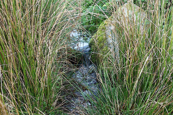 CGR71.jpg (taken 5.10.2017) |
||
|
|
||
 Lakes Guides menu.