 Old Cumbria Gazetteer
 |
 |
|
| Threlkeld CofE Primary School, Threlkeld | ||
| Threlkeld CofE Primary School | ||
| locality:- | Threlkeld | |
| civil parish:- | Threlkeld (formerly Cumberland) | |
| county:- | Cumbria | |
| locality type:- | school | |
| coordinates:- | NY31952544 | |
| 1Km square:- | NY3125 | |
| 10Km square:- | NY32 | |
|
|
||
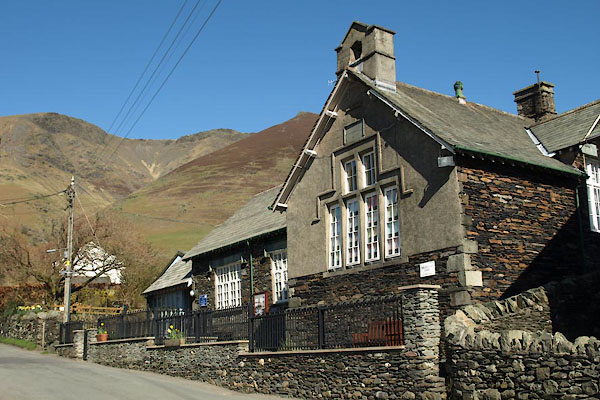 BWD40.jpg (taken 26.3.2012) 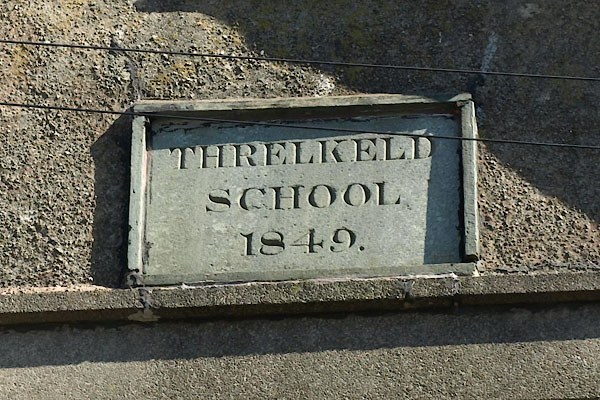 BWD41.jpg Plaque:- "THRELKELD / SCHOOL / 1849." (taken 26.3.2012) |
||
|
|
||
| evidence:- | old map:- OS County Series (Cmd 56 16) |
|
| source data:- | Maps, County Series maps of Great Britain, scales 6 and 25
inches to 1 mile, published by the Ordnance Survey, Southampton,
Hampshire, from about 1863 to 1948. "Endowed School" at Threlkeld |
|
|
|
||
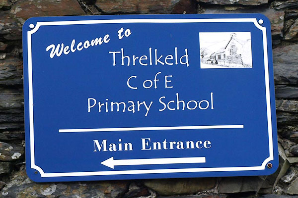 BVJ79.jpg Sign. (taken 18.9.2011) 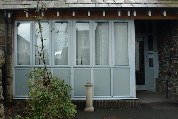 BVJ80.jpg Front entrance and sundial. (taken 18.9.2011) |
||
|
|
||
 Lakes Guides menu.