 Old Cumbria Gazetteer
 |
 |
|
| New Basin, Ulverston Canal | ||
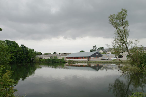
| New Basin | ||
| site name:- | Ulverston Canal | |
| Street:- | North Lonsdale Road | |
| locality:- | Canal Siding | |
| locality:- | Ulverston | |
| civil parish:- | Ulverston (formerly Lancashire) | |
| county:- | Cumbria | |
| locality type:- | canal basin | |
| coordinates:- | SD29767832 (etc) | |
| 1Km square:- | SD2978 | |
| 10Km square:- | SD27 | |
|
|
||
 BWV56.jpg (taken 13.7.2012) |
||
|
|
||
| evidence:- | old map:- OS County Series (Lan 16 4) placename:- New Basin |
|
| source data:- | Maps, County Series maps of Great Britain, scales 6 and 25
inches to 1 mile, published by the Ordnance Survey, Southampton,
Hampshire, from about 1863 to 1948. |
|
|
|
||
 Lakes Guides menu.