 Old Cumbria Gazetteer
 |
 |
|
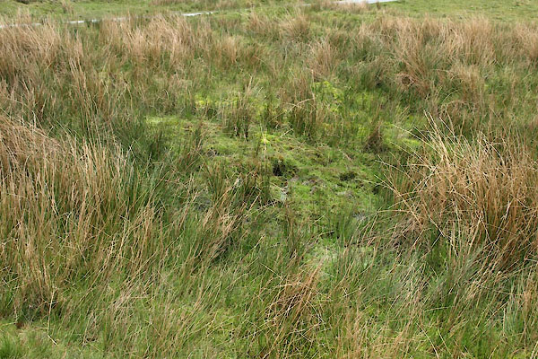
| Harry Hodgson's Well, Ennerdale and Kinniside | ||
| Harry Hodgson's Well | ||
| locality:- | Blakely | |
| civil parish:- | Ennerdale and Kinniside (formerly Cumberland) | |
| county:- | Cumbria | |
| locality type:- | spring | |
| coordinates:- | NY06261344 | |
| 1Km square:- | NY0613 | |
| 10Km square:- | NY01 | |
|
|
||
 BWK03.jpg (taken 16.5.2012) 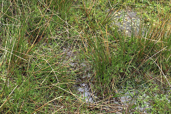 BWK04.jpg (taken 16.5.2012) |
||
|
|
||
| evidence:- | old map:- OS County Series (Cmd 68 14) placename:- Harry Hodgson's Well |
|
| source data:- | Maps, County Series maps of Great Britain, scales 6 and 25
inches to 1 mile, published by the Ordnance Survey, Southampton,
Hampshire, from about 1863 to 1948. |
|
|
|
||
 Lakes Guides menu.