 Old Cumbria Gazetteer
 |
 |
|
| Forestead Spring, Crossthwaite and Lyth | ||
| Forestead Spring | ||
| locality:- | Durham Bridge | |
| civil parish:- | Crosthwaite and Lyth (formerly Westmorland) | |
| county:- | Cumbria | |
| locality type:- | spring | |
| coordinates:- | SD45118983 | |
| 1Km square:- | SD4589 | |
| 10Km square:- | SD48 | |
|
|
||
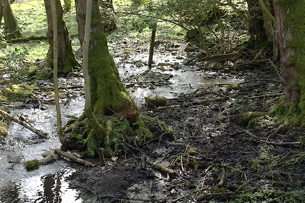 BYE68.jpg Spring in area NE of road (taken 26.4.2013) 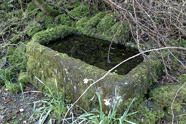 BYE66.jpg Trough, SW side of road (taken 26.4.2013) |
||
|
|
||
| evidence:- | old map:- OS County Series (Wmd 38 13) placename:- Forestead Spring |
|
| source data:- | Maps, County Series maps of Great Britain, scales 6 and 25
inches to 1 mile, published by the Ordnance Survey, Southampton,
Hampshire, from about 1863 to 1948. |
|
|
|
||
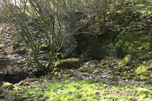 BYE67.jpg Area above wall, SW of road (taken 26.4.2013) |
||
|
|
||
 Lakes Guides menu.