 Old Cumbria Gazetteer
 |
 |
|
| footbridge, Loweswater (3) | ||
| site name:- | Sour Milk Gill | |
| civil parish:- | Loweswater (formerly Cumberland) | |
| county:- | Cumbria | |
| locality type:- | footbridge | |
| locality type:- | bridge | |
| coordinates:- | NY17231629 | |
| 1Km square:- | NY1716 | |
| 10Km square:- | NY11 | |
|
|
||
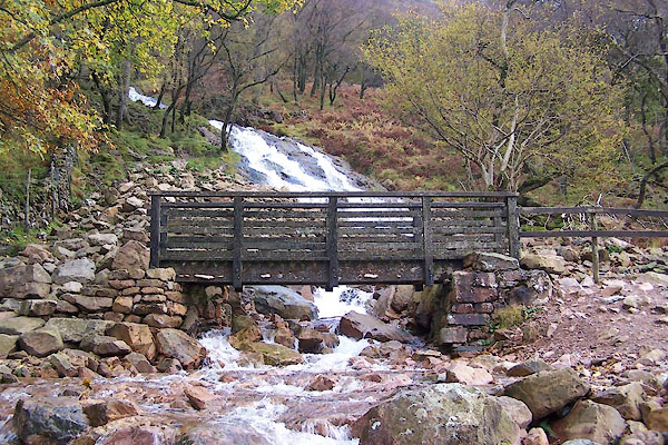 BVP96.jpg (taken 1.1.2011) |
||
|
|
||
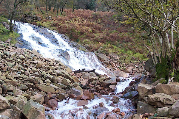 BVP97.jpg View of river. (taken 1.1.2011) 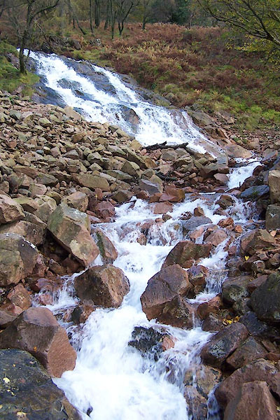 BVP98.jpg View of river. (taken 1.1.2011) |
||
|
|
||
 Lakes Guides menu.