 Old Cumbria Gazetteer
 |
 |
|
| Bridge End, Bretherdale | ||
| Bridge End | ||
| locality:- | Bretherdale | |
| civil parish:- | Orton S (formerly Westmorland) | |
| county:- | Cumbria | |
| locality type:- | buildings | |
| coordinates:- | NY57500505 | |
| 1Km square:- | NY5705 | |
| 10Km square:- | NY50 | |
|
|
||
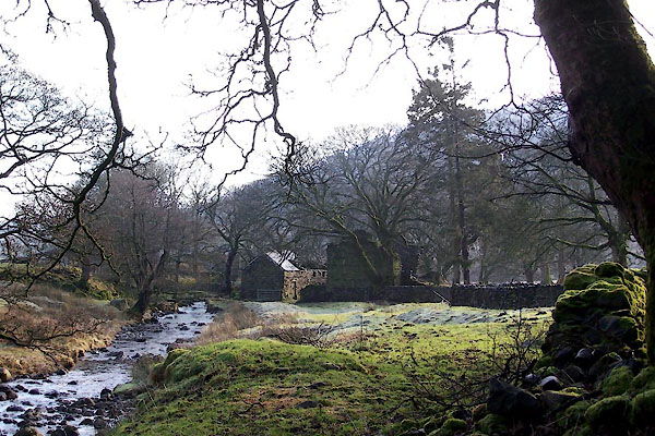 BVV78.jpg (taken 27.1.2012) 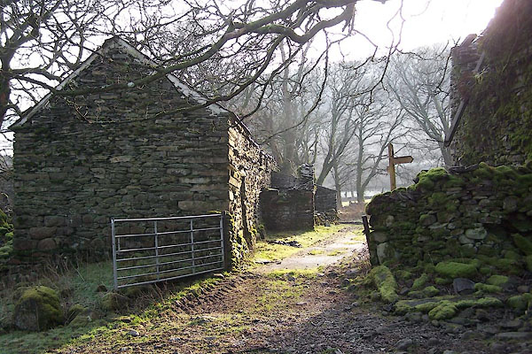 BVV79.jpg (taken 27.1.2012) |
||
|
|
||
| evidence:- | old map:- OS County Series (Wmd 28 6) placename:- Bridge End |
|
| source data:- | Maps, County Series maps of Great Britain, scales 6 and 25
inches to 1 mile, published by the Ordnance Survey, Southampton,
Hampshire, from about 1863 to 1948. |
|
|
|
||
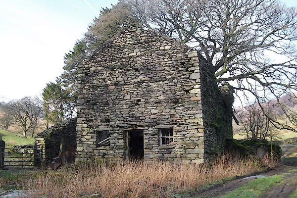 BVV80.jpg (taken 27.1.2012) 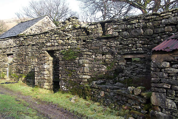 BVV81.jpg (taken 27.1.2012) |
||
|
|
||
 Lakes Guides menu.