 Old Cumbria Gazetteer
 |
 |
|
| Woods, Deepdale | ||
| Woods | ||
| locality:- | Deepdale | |
| civil parish:- | Dent (formerly Yorkshire) | |
| county:- | Cumbria | |
| locality type:- | buildings | |
| coordinates:- | SD72758412 | |
| 1Km square:- | SD7284 | |
| 10Km square:- | SD78 | |
| references:- | Listed Buildings 2010 |
|
|
|
||
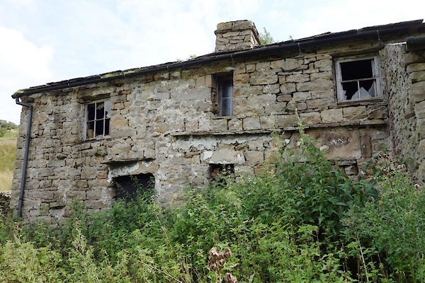
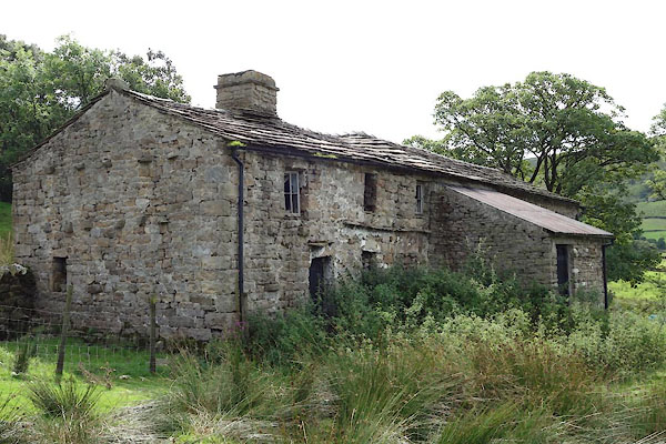 CDT59.jpg (taken 25.8.2015) 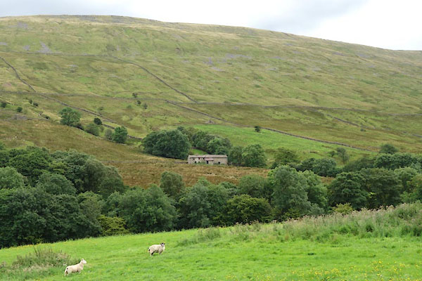 CDT58.jpg (taken 25.8.2015) |
||
|
|
||
| evidence:- | old map:- OS County Series (Yrk 80 6) placename:- Woods |
|
| source data:- | Maps, County Series maps of Great Britain, scales 6 and 25
inches to 1 mile, published by the Ordnance Survey, Southampton,
Hampshire, from about 1863 to 1948. |
|
|
|
||
| evidence:- | database:- Listed Buildings 2010 placename:- Woods |
|
| source data:- | courtesy of English Heritage "WOODS / / DEEPDALE LANE / DENT / SOUTH LAKELAND / CUMBRIA / II / 484245 / SD7275684128" |
|
|
|
||
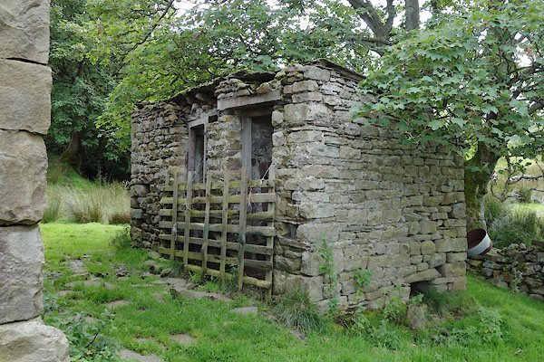 CDT61.jpg Privy. (taken 25.8.2015) 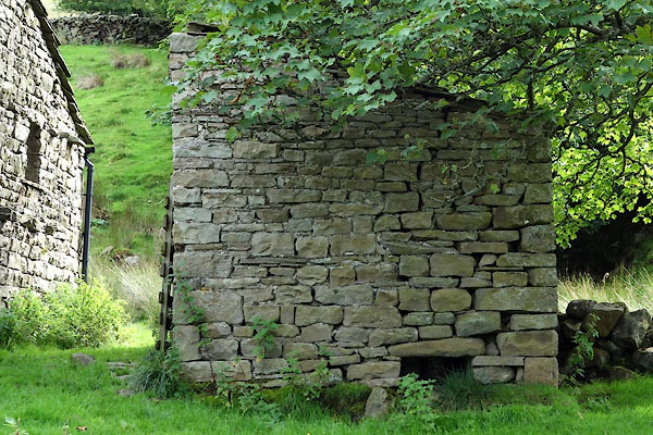 CDT62.jpg Privy. (taken 25.8.2015) |
||
|
|
||
 CDT60.jpg (taken 25.8.2015) 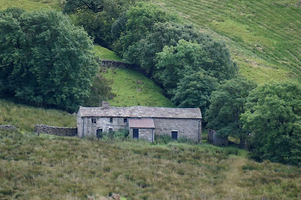 CDQ50.jpg (taken 7.8.2015) |
||
|
|
||
 Lakes Guides menu.