 Old Cumbria Gazetteer
 |
 |
|
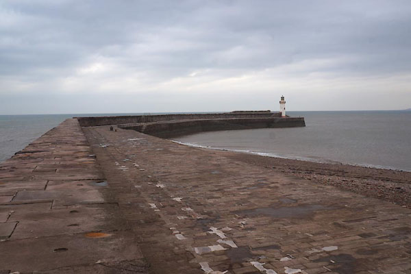
| West Pier, Whitehaven Harbour | ||
| West Pier | ||
| site name:- | Whitehaven Harbour | |
| locality:- | Outer Harbour | |
| locality:- | Whitehaven | |
| civil parish:- | Whitehaven (formerly Cumberland) | |
| county:- | Cumbria | |
| locality type:- | pier | |
| coordinates:- | NX96661857 (etc) | |
| 1Km square:- | NX9618 | |
| 10Km square:- | NX91 | |
|
|
||
 CBY86.jpg (taken 31.10.2014) 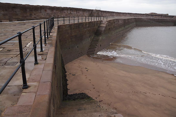 CBY88.jpg (taken 31.10.2014) |
||
|
|
||
| evidence:- | old map:- OS County Series (Cmd 67 2) placename:- West Pier |
|
| source data:- | Maps, County Series maps of Great Britain, scales 6 and 25
inches to 1 mile, published by the Ordnance Survey, Southampton,
Hampshire, from about 1863 to 1948. |
|
|
|
||
| evidence:- | old map:- OS County Series (Cmd 67 2) placename:- West Pier |
|
| source data:- | Maps, County Series maps of Great Britain, scales 6 and 25
inches to 1 mile, published by the Ordnance Survey, Southampton,
Hampshire, from about 1863 to 1948. |
|
|
|
||
| evidence:- | database:- Listed Buildings 2010 placename:- West Pier |
|
| source data:- | courtesy of English Heritage "WEST PIER / / / WHITEHAVEN / COPELAND / CUMBRIA / II / 75897 / NX9665818571" |
|
| source data:- | courtesy of English Heritage "Stone pier built by Rennie between 1824 and 1839." |
|
|
|
||
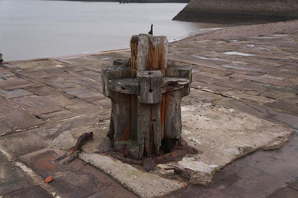 CBY87.jpg Remains of a crane. (taken 31.10.2014) |
||
|
|
||
 Lakes Guides menu.