 Old Cumbria Gazetteer
 |
 |
|
| Waverbridge Farm, Waverbridge | ||
| Waverbridge Farm | ||
| locality:- | Waverbridge | |
| civil parish:- | Waverton (formerly Cumberland) | |
| county:- | Cumbria | |
| locality type:- | buildings | |
| coordinates:- | NY22334897 | |
| 1Km square:- | NY2248 | |
| 10Km square:- | NY24 | |
| references:- | Listed Buildings 2010 |
|
|
|
||
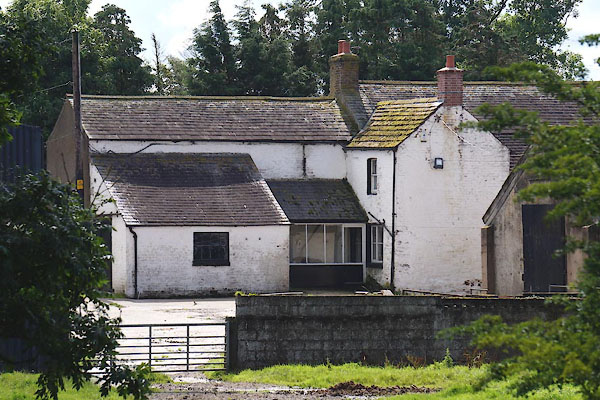 CFF95.jpg (taken 29.7.2016) |
||
|
|
||
| evidence:- | old map:- OS County Series (Cmd 28 8) placename:- Waverbridge |
|
| source data:- | Maps, County Series maps of Great Britain, scales 6 and 25
inches to 1 mile, published by the Ordnance Survey, Southampton,
Hampshire, from about 1863 to 1948. |
|
|
|
||
| evidence:- | database:- Listed Buildings 2010 placename:- Waver Bridge Farm item:- date stone (1670) |
|
| source data:- | courtesy of English Heritage "WAVER BRIDGE FARMHOUSE AND ADJOINING BARNS / / / WAVERTON / ALLERDALE / CUMBRIA / II / 72010 / NY2233648976" |
|
|
|
||
 Lakes Guides menu.