 Old Cumbria Gazetteer
 |
 |
|
| Vicarage, Cumrew | ||
| locality:- | Cumrew | |
| civil parish:- | Cumrew (formerly Cumberland) | |
| county:- | Cumbria | |
| locality type:- | buildings | |
| coordinates:- | NY55025036 | |
| 1Km square:- | NY5550 | |
| 10Km square:- | NY55 | |
| references:- | Listed Buildings 2010 |
|
|
|
||
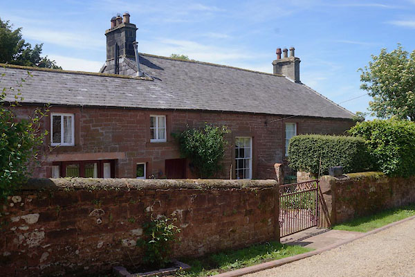 CAW29.jpg (taken 6.6.2014) 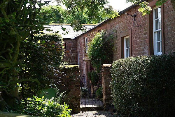 CAW30.jpg (taken 6.6.2014) |
||
|
|
||
| evidence:- | old map:- OS County Series (Cmd 32 2) placename:- Parsonage, The |
|
| source data:- | Maps, County Series maps of Great Britain, scales 6 and 25
inches to 1 mile, published by the Ordnance Survey, Southampton,
Hampshire, from about 1863 to 1948. |
|
|
|
||
| evidence:- | database:- Listed Buildings 2010 placename:- Vicarage, The |
|
| source data:- | courtesy of English Heritage "THE VICARAGE / / / CUMREW / CARLISLE / CUMBRIA / II / 78013 / NY5502750360" |
|
|
|
||
 Lakes Guides menu.